
More Gorgeous Free Vintage Maps of Europe
A couple of weeks ago, I published a variety of gorgeous free printable old maps of Europe from my collection. These were all of the Northern European Countries. This time I've uploaded even more beautiful free vintage maps of Europe, with a focus on Central and Southern Countries.
All of these free vintage maps of Europe are over a hundred years old. Unlike in Northern Europe, there has been significant change in the geographical borders of these European countries.
The biggest change has to be the breakup of the Soviet Union. The dissolution of the Soviet Union into 11 different Countries occurred at the end of 1991.
Therefore, any maps of Europe pre-1991 show the USSR and not all the new Baltic states and other former Soviet Republics. However, Russia is still the largest country in the world.
More Gorgeous Free Vintage Maps of Europe - Central and Southern
The PDF-downloaded maps will be of a higher resolution than the images below.
To download the maps, click on the highlighted map title link, and a PDF of the map will automatically download to your device.
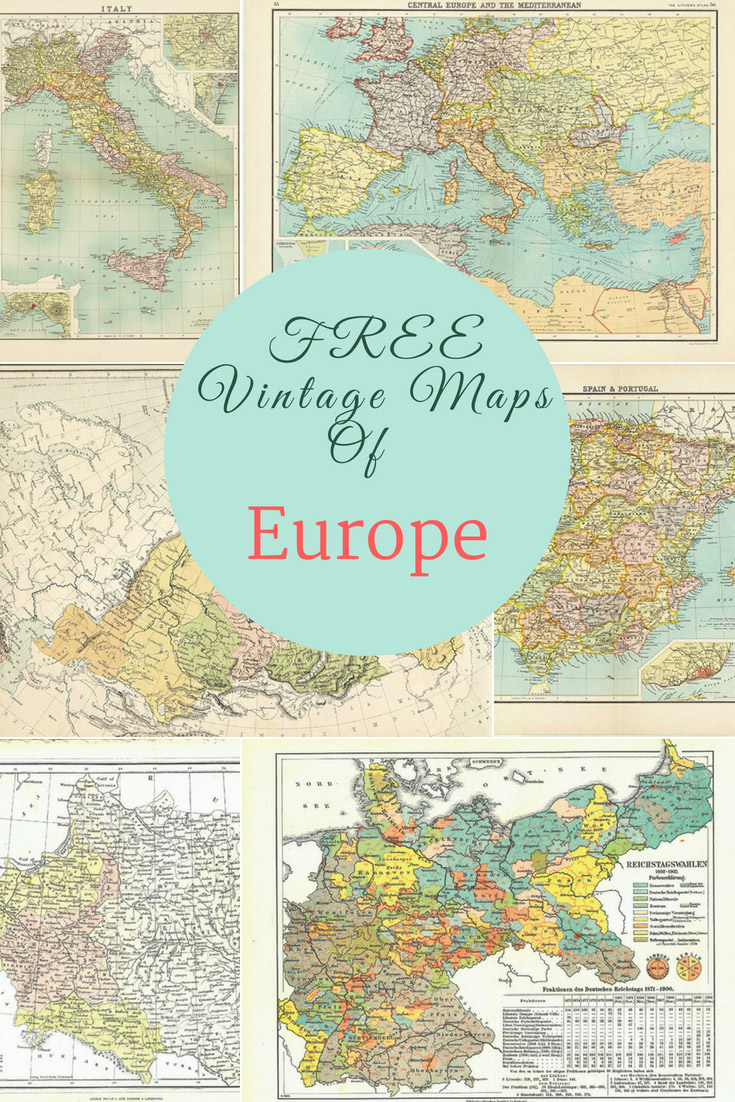
THE FREE VINTAGE MAPS OF EUROPE
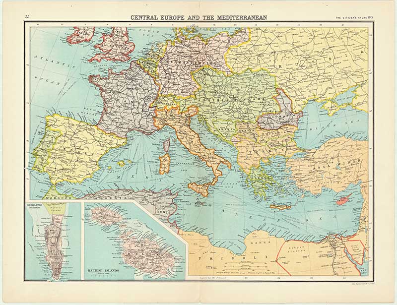
1. Vintage Map of Central & Mediterranean Europe - Bartholomew's Citizens Atlas of The World 1898
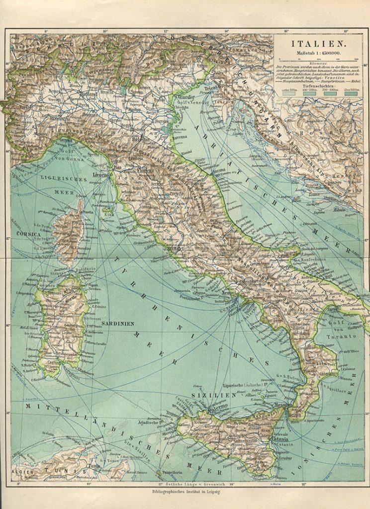
2. Vintage Map of Italy - German Atlas
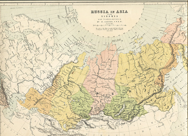
3. Russia In Europe
I don't know which Atlas this vintage map of Russia was originally from, as it was a loose one in my collection. I do, however, believe it is well over 100 years old.
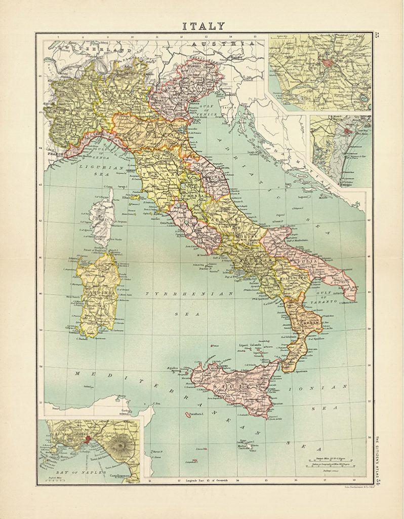
5. Vintage Map of Italy - Bartholomew's Citizens Atlas of The World 1892
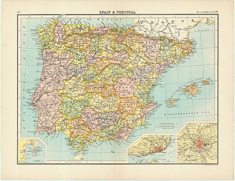
6. Vintage Map of Spain & Portugal - Bartholomew's Citizens Atlas of The World 1898
7. Vintage Map of Switzerland - George Philip and Son
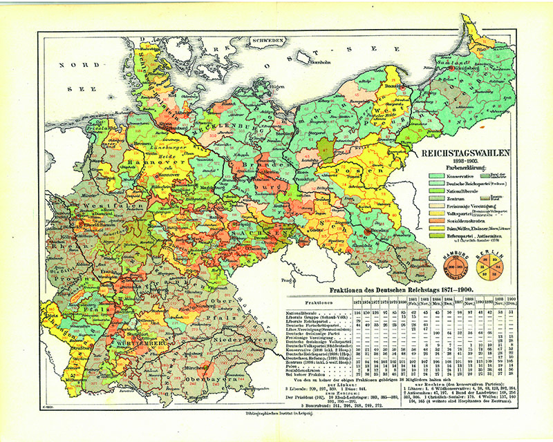
This map is again in German. It looks like something from a vintage geography textbook. I'm not sure what the scales and colours represent, but I love the map's colourfulness.
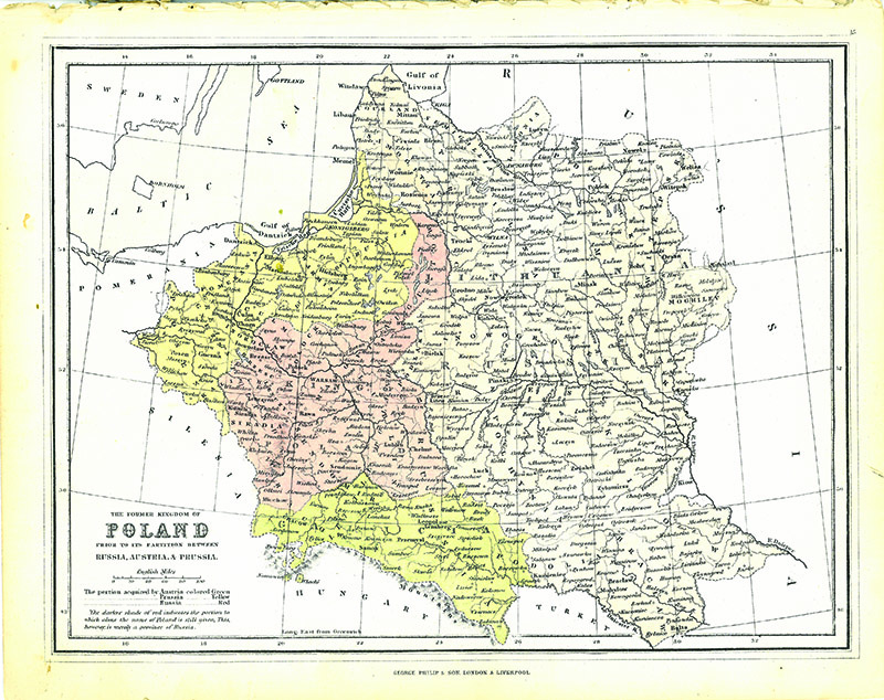
8. Map of Poland
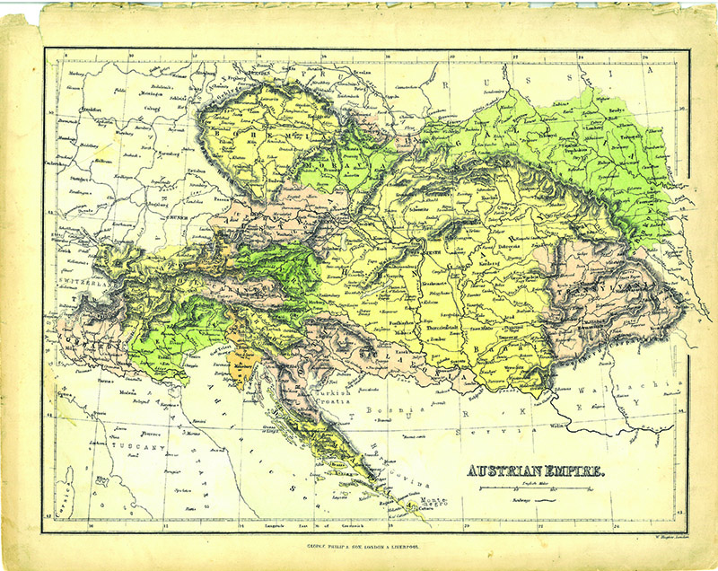
9. Vintage Map of the Austrian Empire
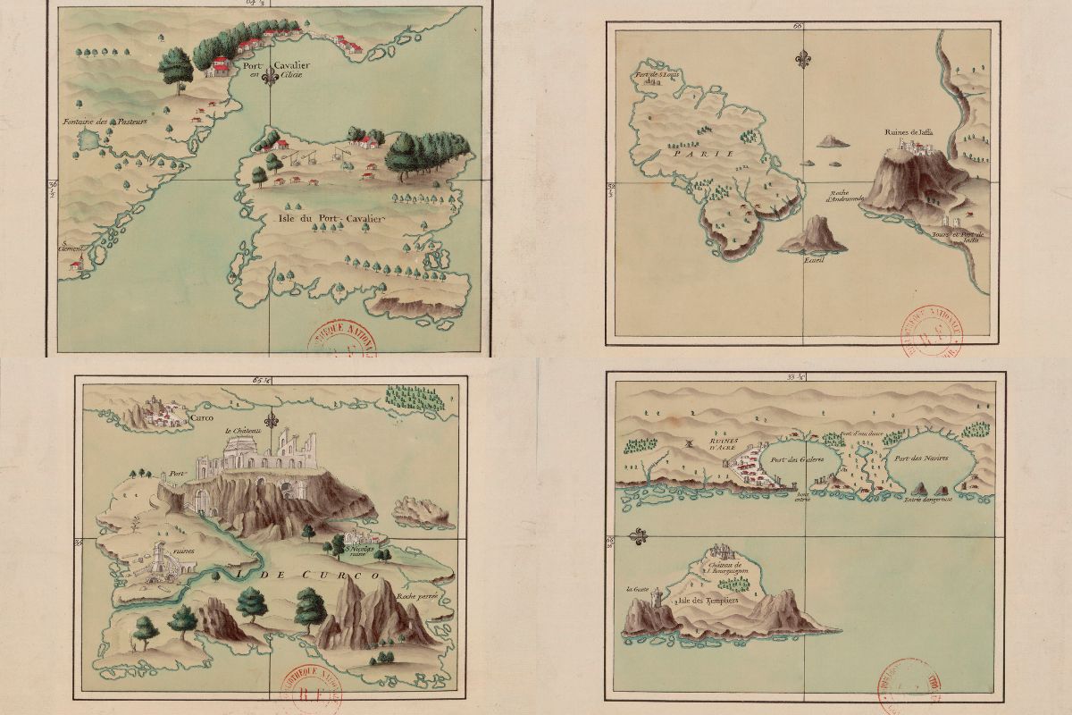
For more European maps, check out this collection of beautifully illustrated Mediterranean Island maps.
If you want large-scale maps, simply email the PDF to your local printers, and they should be able to print a high-resolution, print-ready version for framing.
Check out all my other free maps to download. If you are looking for other continental maps, check out these wonderful old maps of Africa or these wonderful free old maps of Asia.
Pillarboxblue has some fantastic DIY and craft map ideas. I recommend you check them out. If you are going to decoupage with them, I recommend using a laserjet printer.
Hi, do you have any maps on Romania, before, during, or post communism?
Sorry not at the moment but might do in the future.
I would also like to thank you for posting these wonderful maps! My family was part of a Germany colony in Russia (specifically Ukraine). My great-grandparents emigrated to Canada right around this time period, so it's wonderful to be able to see a map of what they world looked like then.
Thank you, that is really interested. I'm pleased you enjoyed the maps.
Thank you for your maps.
Found the Austrian Empire map very helpful as it explains to my family as to how we were governed and by whom over the centuries.
Thank you, I'm glad you enjoyed it. Come back again as I will be adding more maps.
I love antique maps! Thanks for making these available in high resolution
Thank you, you're welcome there are many more maps to come.
Hi Claire,
I'm producing some candle labels for a customer, and she wants an old vintage map as the background. Is it ok to use image 1 for this please? I wasn't sure if they were copyright, or if you needed a mention if they were to be used?
Many thanks,
Victoria
Hi Victoria. These images are in the public domain and copyright free so it is OK for you to use them.
Lovely, thank you 🙂
Thank you Victoria. Glad you enjoyed them.
Thank you for sharing your collection of vintage maps. I found your site by chance and I love this kind of of stuff.
I am trying to give you some explanation to the colorful map # 8 shown here on this site:
This map shows how the german people have votet für their parliament (the "Reichtstag") in the years 1898 - 1903. The colors responsed to the different political parties, for example the dark blue-green belongs to the conservative partie, red to the social-democratic partie. The colored spots are the voting districts and the color belongs to the partie which has the majority in it.
I hope this will help and you understand my bad English. If you have questions about other German maps in your collection, I'll be happy to help.
Greetings from Germany
Andrea
Thank you, that’s really interesting. I find old maps like this fascinating especially as I understand thus one a bit more now.