Printable Free Antique World Maps For You To Download
There is nothing like looking at antique world maps to spark the imagination of those with wanderlust. It amazes me how the shape of an antique world map from the 1600s is not vastly different from the modern world map. Just shows what an amazing job the cartographers from the past did with minimal technology.
Not only were these antique world maps very similar to the ones of today, but they were also beautifully illustrated. Many of these cartographers were fabulous artists too.
As some of these antique world maps are beautifully illustrated, I think they would look fabulous as wall art.
Lauren of Bless'er House has a great tutorial on how to display oversized vintage maps.
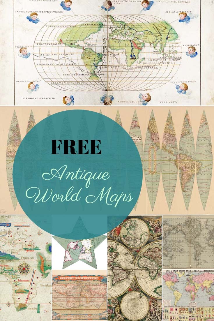
The PDF downloaded maps will be of a higher resolution than the images below.
To download the maps just click on the Map title link and a PDF of the map will automatically download to your device.
-
-
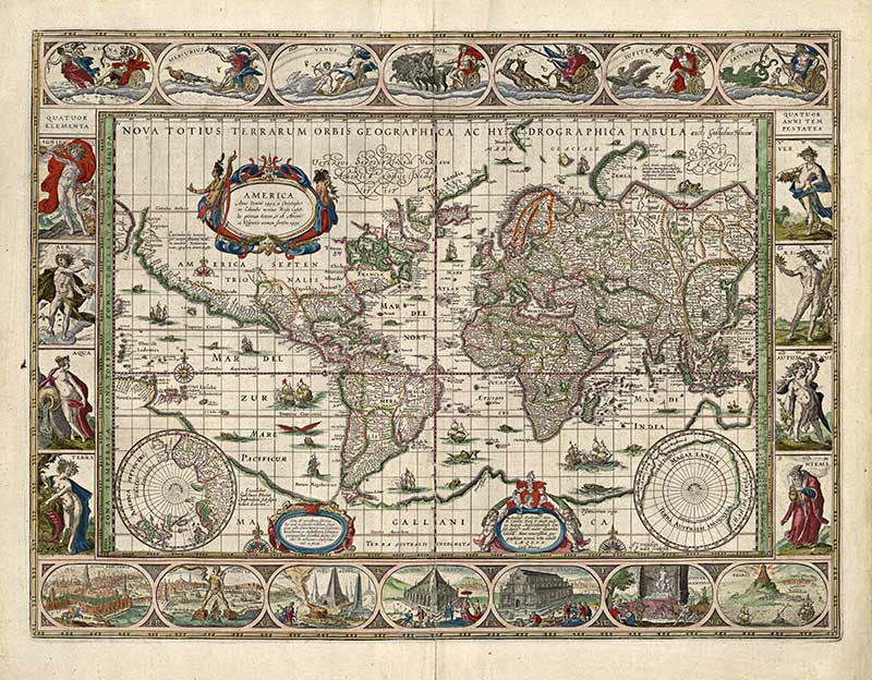
This ancient world map was painted in 1635 by William Bleau. Blaeu's is very highly thought of by map historians and some of his maps were featured in the works of the Dutch painter Johannes Vermeer of Delft.
There is a lot more going on than just countries and continents in this very old world map painting. I love all the fabulous illustrations around the edge of this map, including some of the ancient wonders of the world such as the pyramids and the Colossus of Rhodes. All the elements of fire, water, air and earth are also represented.
-
-
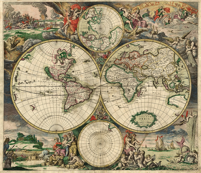
Another gorgeous illustrated antique world map from a Dutch cartographer.
-
-
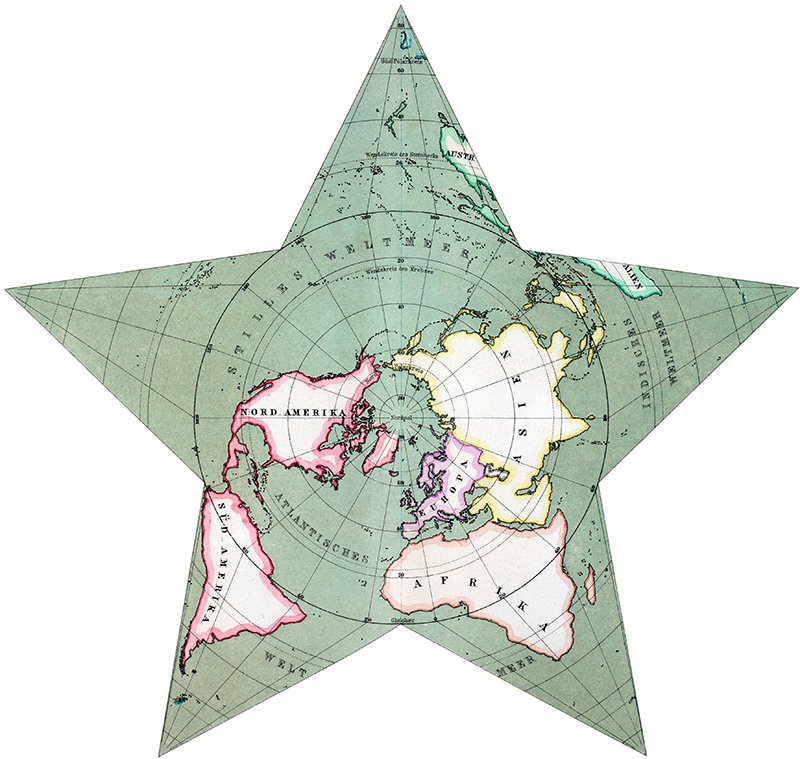
This is a very simple old world map but projected in a very unusual star shape. I've not seen a world map presented like this before and love this perspective by the German cartographer Hermann Berghaus.
-
-
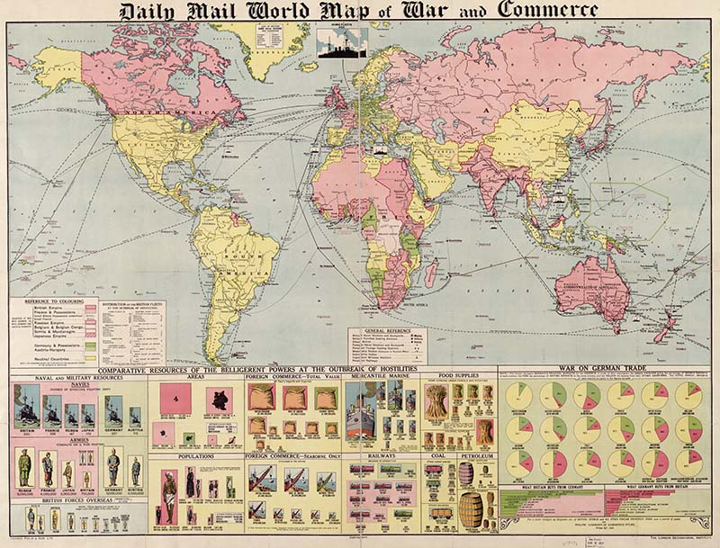
This map printed by the Daily Mail in 1917 is so much more than just an old world map. It shows the economical and political standing of the British and other major Empires at the breakout of World War I. This is also a very large map perfect for a huge wall display.
-
-
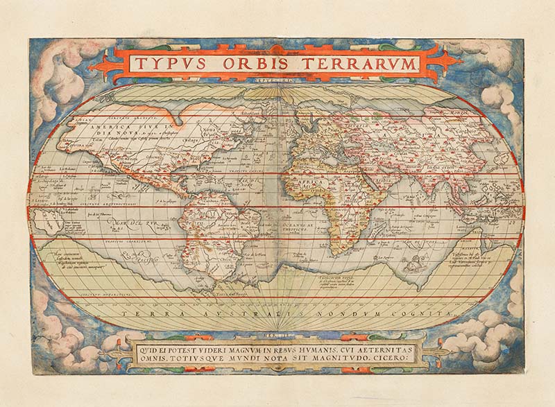
This ancient world map is by the Dutch cartographer Abraham Ortelius and was published in the first modern atlas, the Theatrum Orbis Terrarum (Theatre of the World).
-
-
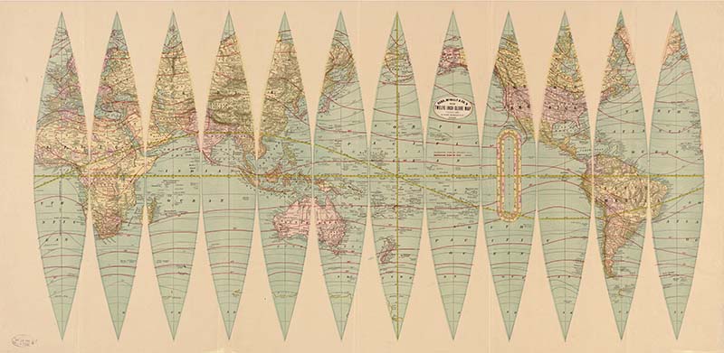
Cut out this fabulously detailed antique world map and make your own antique globe. This would be a fun craft to do with the kids.
-
-
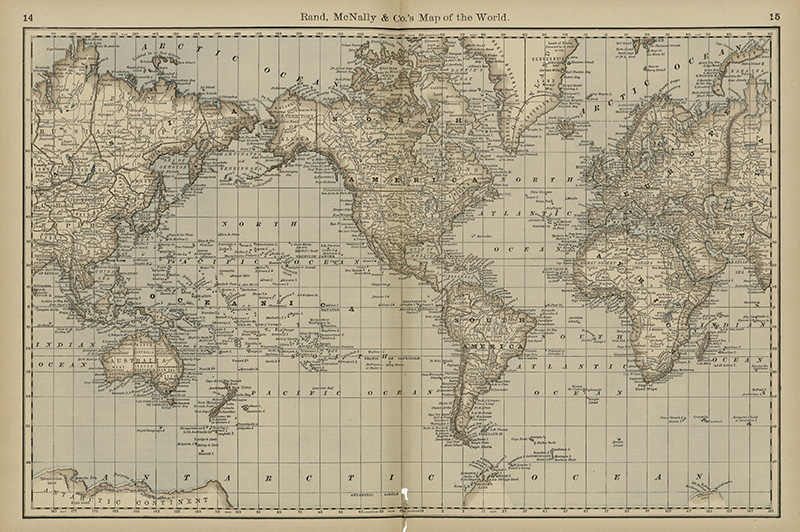
Another fabulous vintage world map from the famous Chigaco publisher's Rand McNally and Co.
-
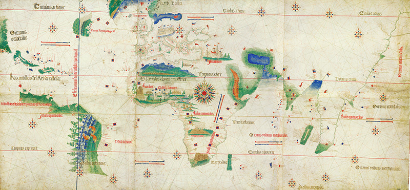
The Cantino planisphere is one of the most precious cartographic documents of all time. It depicts the world, as it became known to the Europeans after the great exploration voyages at the end of the fifteenth and beginning of the sixteenth century to the Americas, Africa and India. It was completed by a Portuguese cartographer in 1502.
-
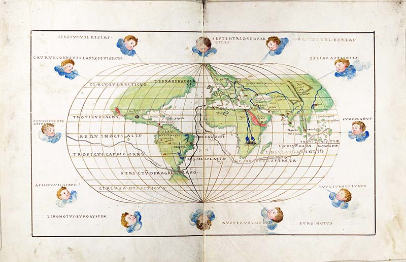
This is a gorgeous world map with beautifully illustrated cherubs on clouds illustrating the major winds around the world. Battista Agnese (c. 1500 – 1564) was a cartographer from the Republic of Genoa, who worked in the Venetian Republic.
I hope you have enjoyed these antique World Maps. There are some world map illustrations with this
vintage board game collection.
If you liked these maps then you may want to check out the pictorial world maps of Chase, these
free vintage Maps of Europe. Or these
maps of Antarctica.

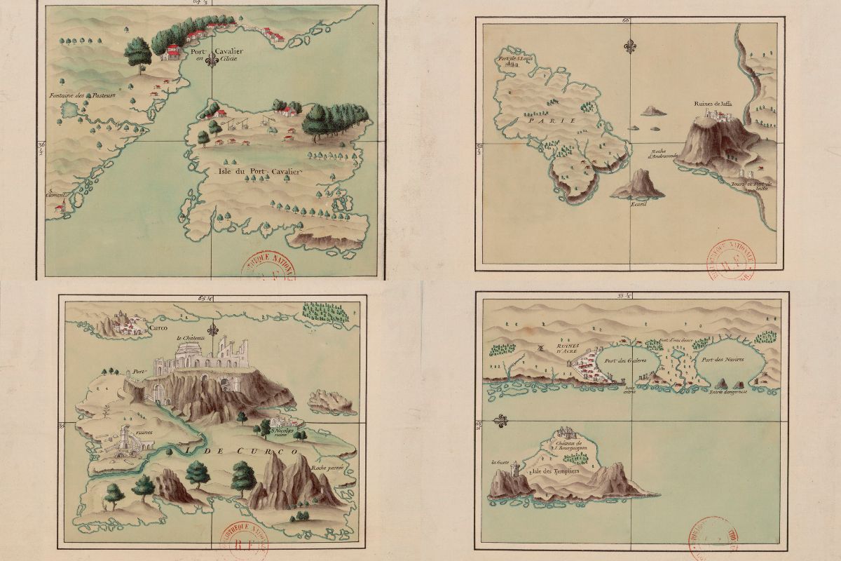
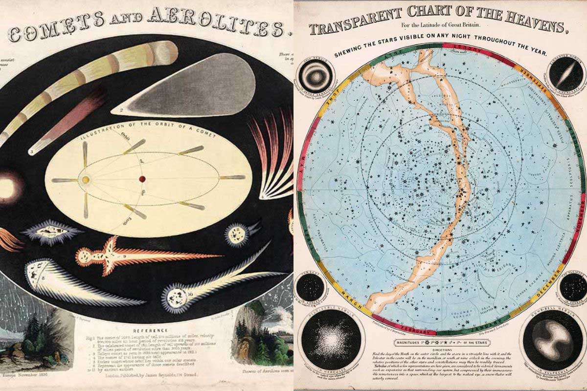
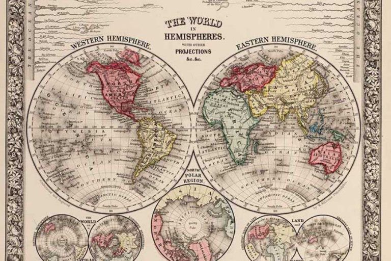
What a wonderful treasure trove of ancient maps and there’s a lot more to explore too. I’ll be back here soon.
Thank you
Thank you, you should check out the vintage images too.
Superb ! Thank you for sharing
fantastic maps
Thank you.
These are awesome, beautiful maps (I love maps); and your informative paragraph about each map is so greatly appreciated.
Thank you, that is lovely to here.
What a WONDERFUL FIND! These maps are treasures! Thank you SO MUCH for making them so easily available! You are AWESOME!
Thank you so much, glad you enjoyed them.
thanks you so much for wonderfull collections
You're welcome, thank you.
thanks a lot for this i spent long time looking for it! love
Thank you, I'm glad you have enjoyed them.
Dear Claire,
thank you for the high res Cantino Planisphere I've been hunting down for so long. As a former resident of Portugal (yes, me wife and I loved Tavira too!), you'll appreciate my respect and interest for this oldest of latitude-oriented maps, all the more so being a long-time resident of Brazil myself.
Abraços, and keep up the good work!
Thank you so much, I'm pleased you found the map you wanted. I will be sharing more in time.
Thanks. Maps are so lovely. I like to compare the changes that take place with all the new countries that appear and the old ones that get taken over. It's neat to see.
I love maps and I love travel. Looking at the world maps sends me off into a daydream about travel.
Thank you for sharing all these beautiful printables!
Thank you, you're welcome.
These are fabulous, Claire. Thanks for sharing at Vintage Charm! Pinned!
Thank you, Cecilia.
Wow, I love these. I love maps (and OLD maps), too! Thank you for sharing. I'm pinning this post. 🙂
#embracingchangelinky
Thank you so much. I'm glad you enjoyed them.
I can think of a ton of projects I would use this for. Thanks for sharing on To Grandma's House We Go!
Thank you, I'm sure there are lots of things you can use them for.
These are great! I searched high and low a few years ago for a printable map for a project I made. So glad to see so many choices all in one place. Thank you!
Thank you, Sheri. I will be posting more maps so what this space!