
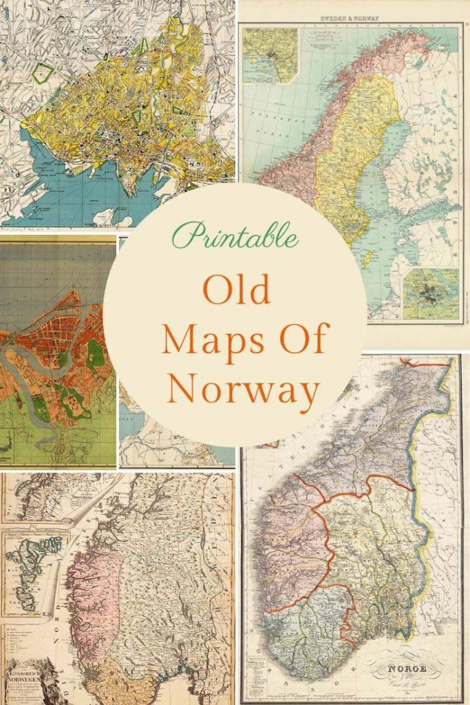
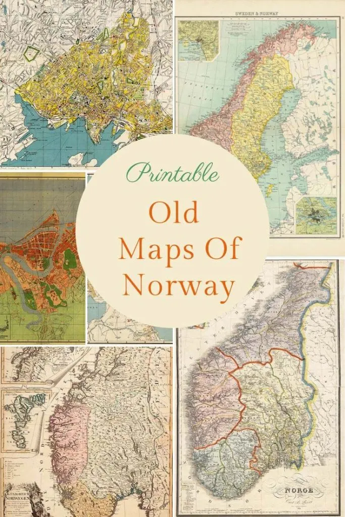
Printable Vintage Maps of Norway
I can’t believe that I haven’t shared a collection of old maps of Norway before. Norway has a special place in our hearts as a family, as my husbands family are from Bergen.
For Christmas last year I printed some map pillows/cushions for my sister and mother in law. They had an old map of Norway on one side and a vintage map of Bergen on the other.
I first visited Norway with my boyfriend (now husband) for the first time in the early ’90s. I was just blown away with the beauty of the country especially the fjords.
Having been bought up in Hong Kong I have been fortunate to have traveled to a lot of countries. But I have to admit that Norway is the most beautiful country I have ever visited.
The Norwegians actually call their country ” Kongeriket Norge “, the kingdom of Norway. Norway is a Nordic, European country and an independent state west of the Scandinavian peninsula. The current king Harald V.
Norway is the third most sparsely populated countries in Europe. With a population of over just 5 million. Norway’s low population density is linked to the mountainous landscape and unfavourable climatic conditions due to its location in the northern-most parts of Europe.
To download a higher resolution of the map, just click on the title above the old map of Norway you want.
We participate in the Amazon Services LLC Associates Program, an affiliate advertising program designed to provide a means for us to earn fees by linking to Amazon.com and affiliated sites. As an Amazon Associate, I earn from qualifying purchases.
The Old Maps Of Norway
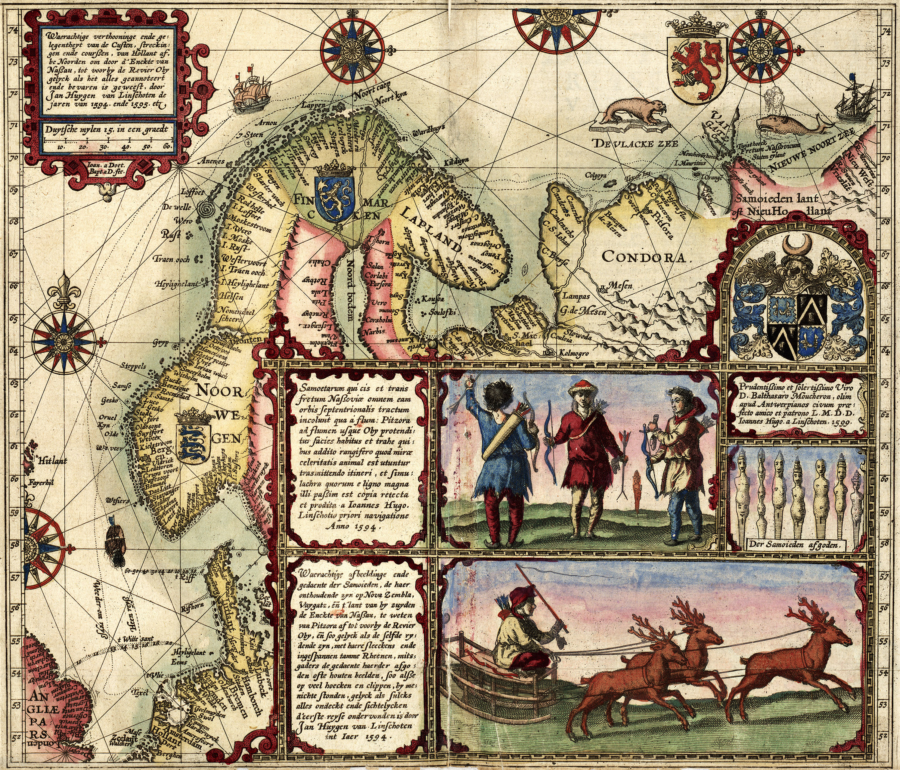
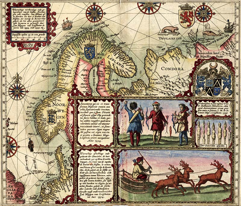
1. 1601 Map of Norway
This lovely illustrated colourful old map of Norway. It’s from the Dutch explorer Willem Barent’s expeditions in the High North.

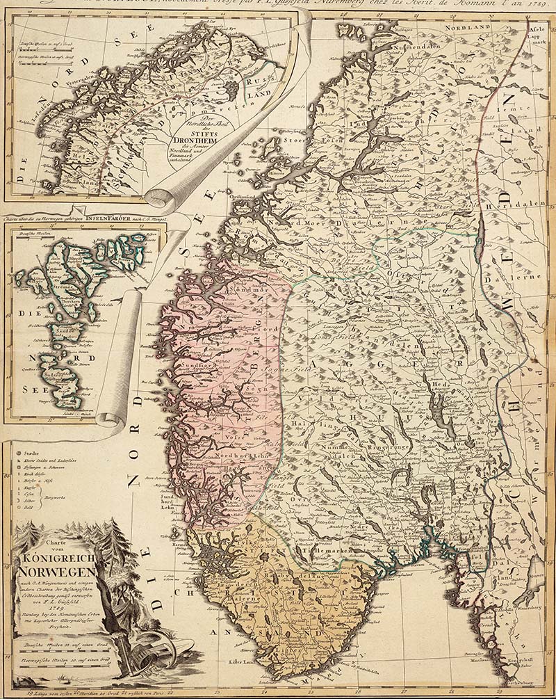
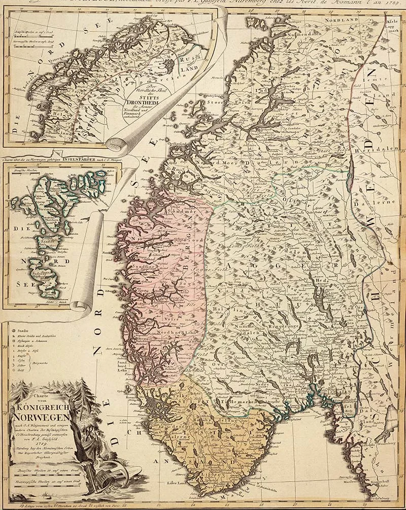
2. 1789 – Map of Norway
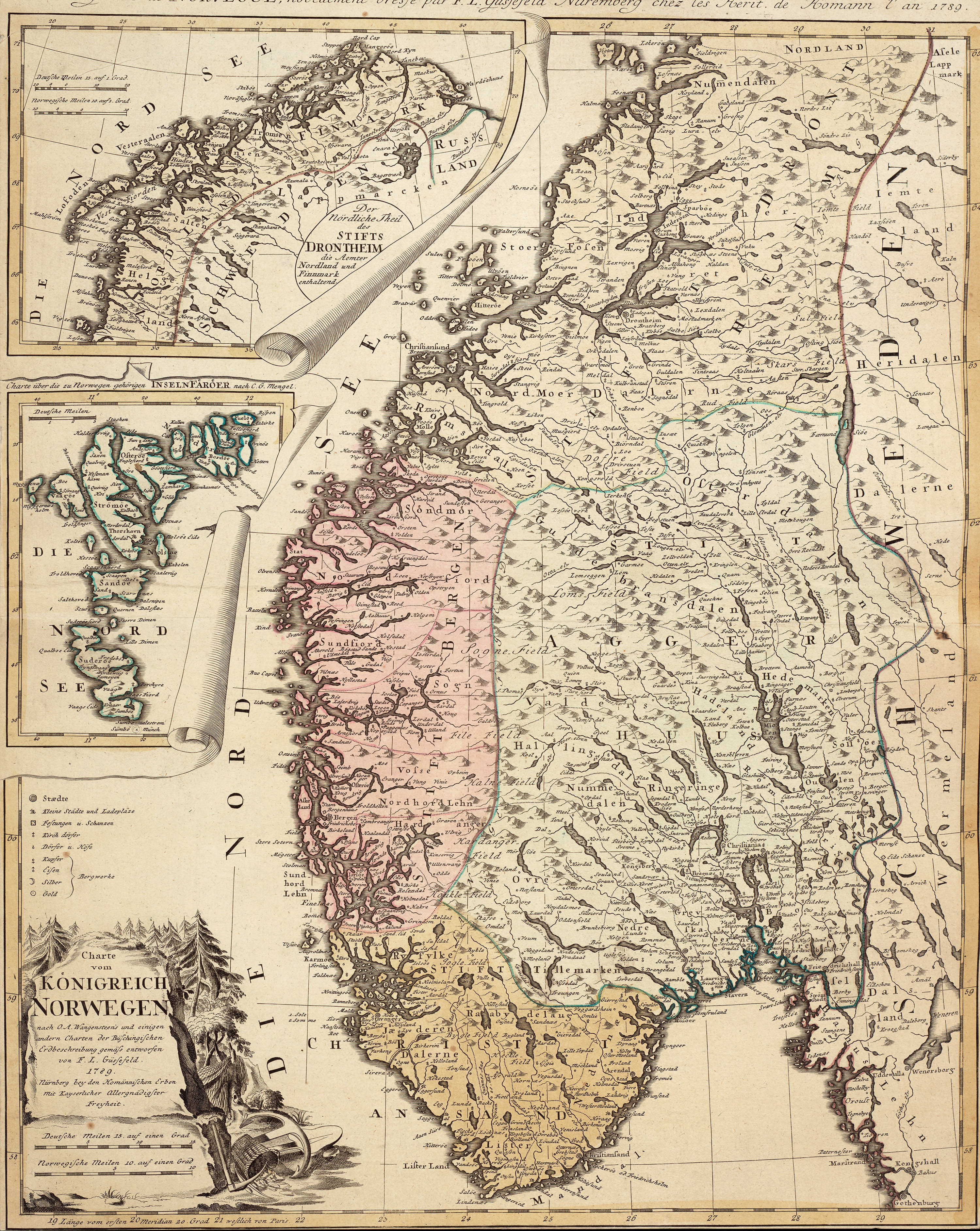
I don’t know much about this map except that is from the Norwegian National Archives and was published in 1789.
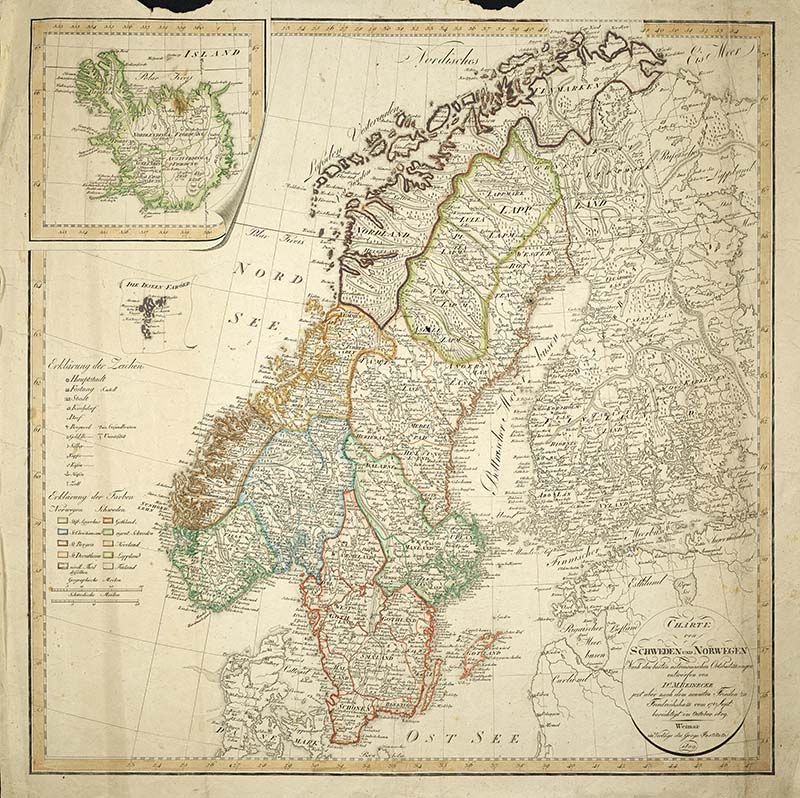
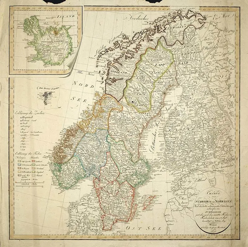
3. 1809 Map of The Scandinavian Peninsula
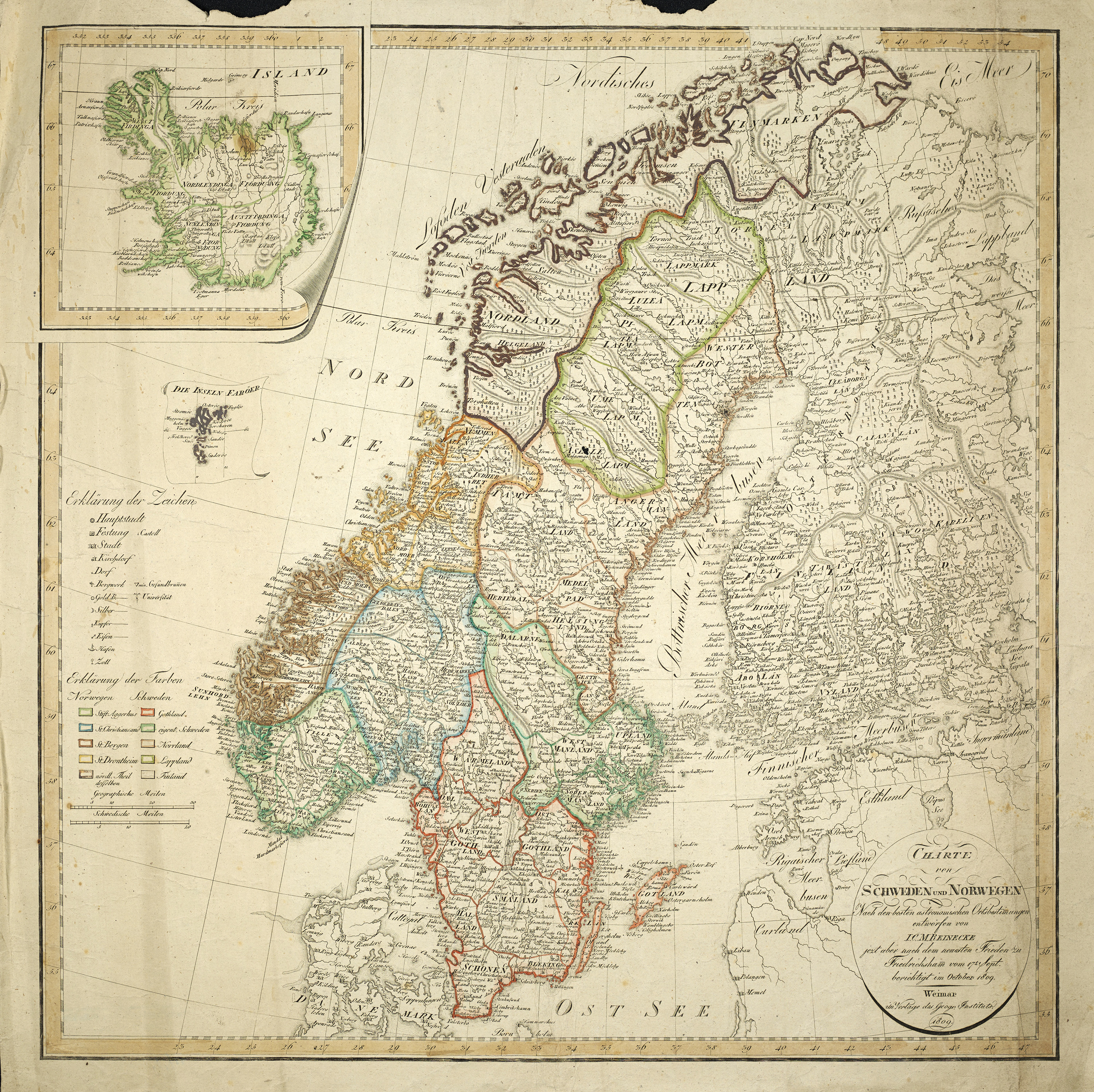
This is another map from the National Library of Norway. It is a German map of the Scandinavian Peninsula from 1809.
Norway along with Sweden and Denmark form Scandinavia. They share similar cultures and languages. My husband speaks Norwegian and even though it’s a separate language he can understand and converse with others speaking either Danish or Swedish.
Often Finland and Iceland get wrongly tagged as Scandinavian countries. They are not Scandinavian but Nordic countries.
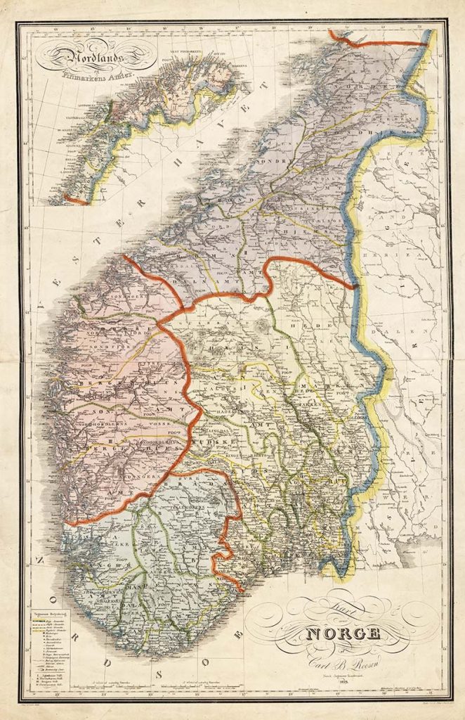
4. 1829 Old Map of Norway
This is a lovely detailed map of Norway. All the major Fjords are named.
There are over 1000 fjords in Norway. Sognefjord is the largest as it’s the longest at over 200 km long and the deepest at 1.3 m in parts.

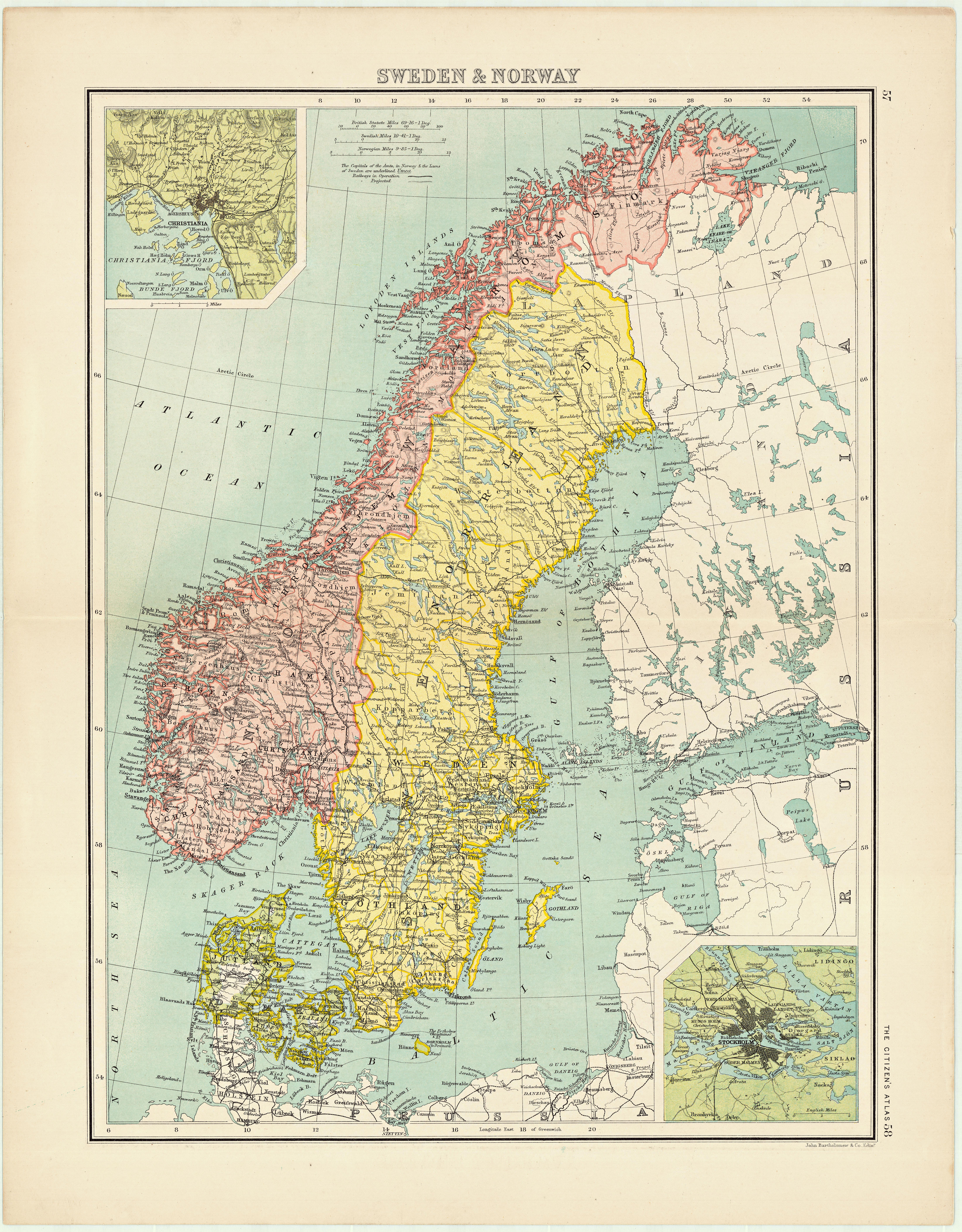
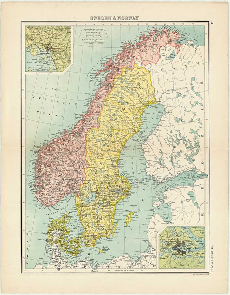
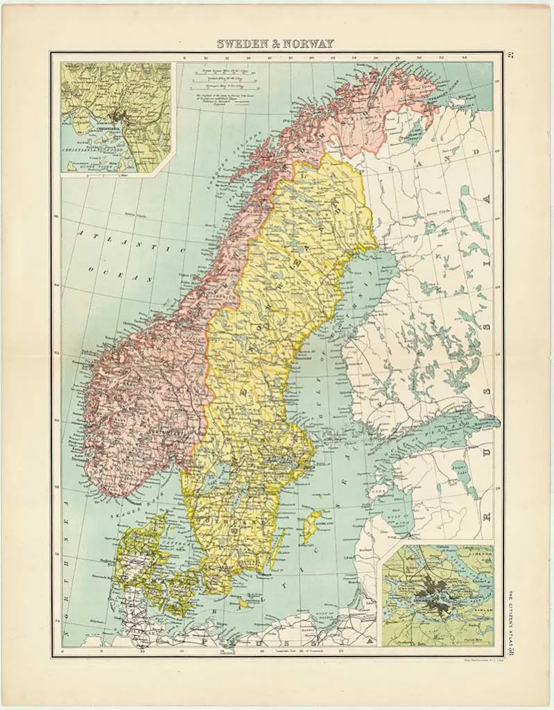
5. Old Map of Sweden & Norway
This maps is from “Bartholemew’s Citizens Atlas of The World”, 1898.
Old Maps of Norwegian Cities
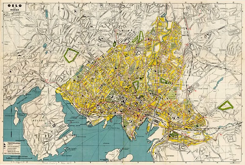
6. 1947 Vintage Map of Oslo
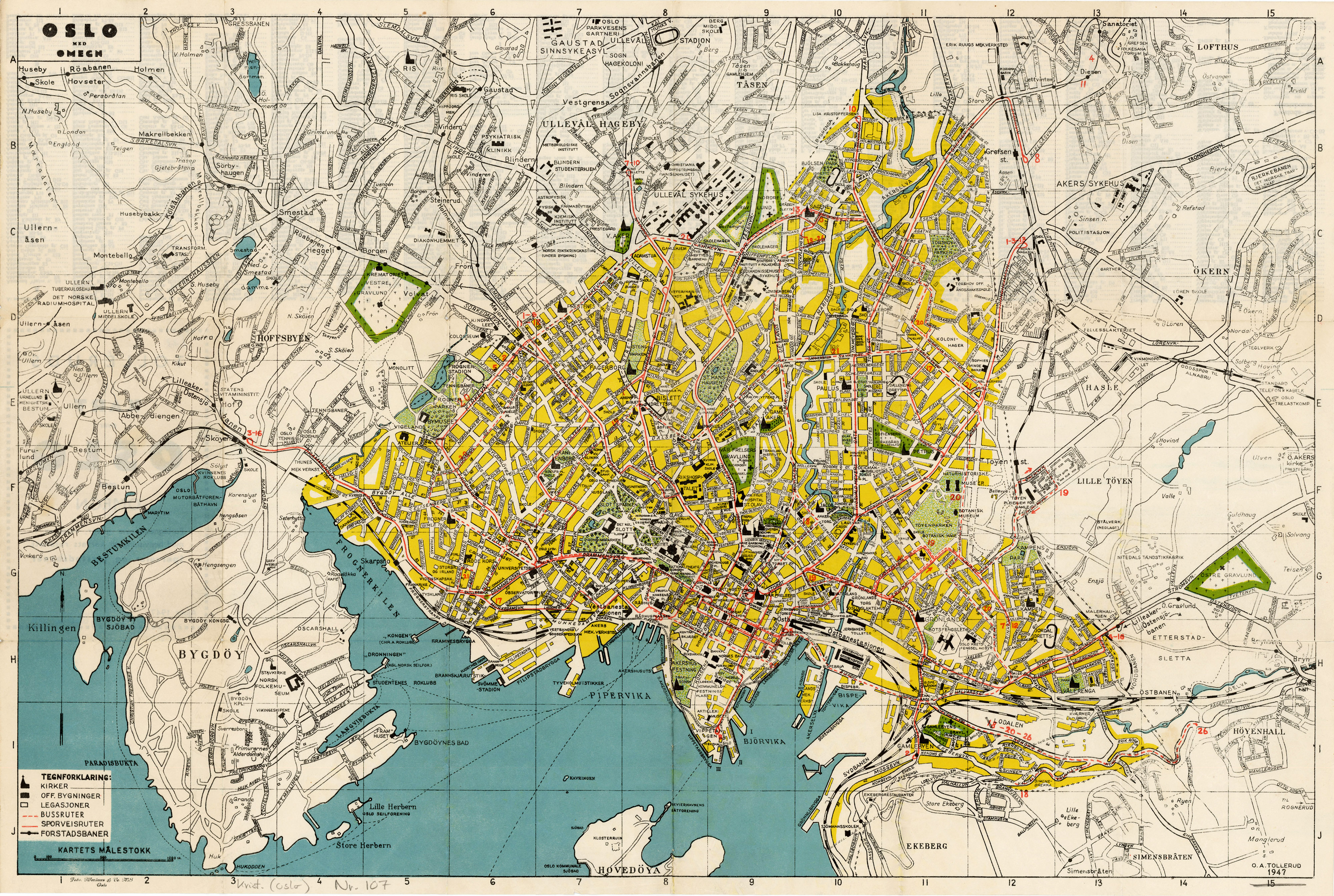
Oslo is the capital of Norway. It is also the most populated city in Norway. By international standards it is still a relatively small capital city with a population of about 3/4 of a million.
I’ve had the pleasure of visiting Oslo, and it is one of my favourite cities in Europe, it is often voted number one for quality of life in a European city.
The highlights of a visit include a visit to the Munch Museum to view one of Edvard Munch’s four versions of the famous “Scream” painting.
Another must is a visit to the Vigeland Museum located in the large Frogner Park, which contains over 212 sculptures by Gustav Vigeland.

7. Old Map of Bergen 1885
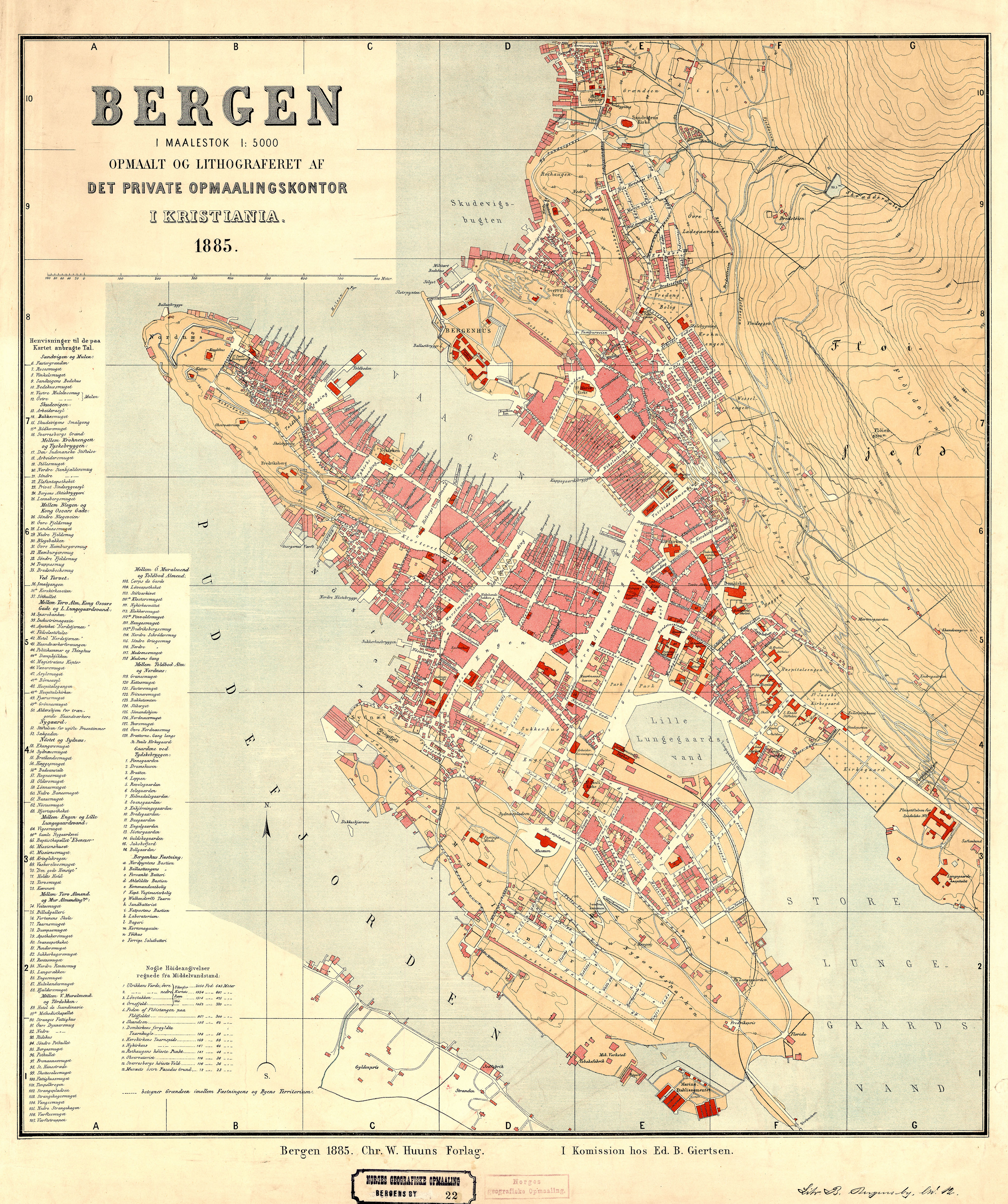
Bergen is Norway’s second-largest city and the gateway to the Fjords. This is where my in-laws are from.
I’m from Hong Kong and when I first visited Bergen, to the surprise of everyone around me I declared it was just like Hong Kong.
I know that may seem a ridiculous thing to say. Comparing one of the worlds a densely populated high rise Asian city with the quaint small city of Bergen.
The buildings may be completely different but the geography between Hong Kong Island and Bergen to me is similar. Both have deep harbours where the mountains meet the sea. Also just like Hong Kong, there is a mountain directly behind the harbour with a funicular to the top.


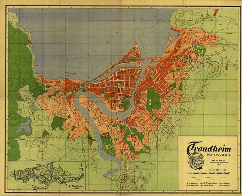
8. Trondheim 1940
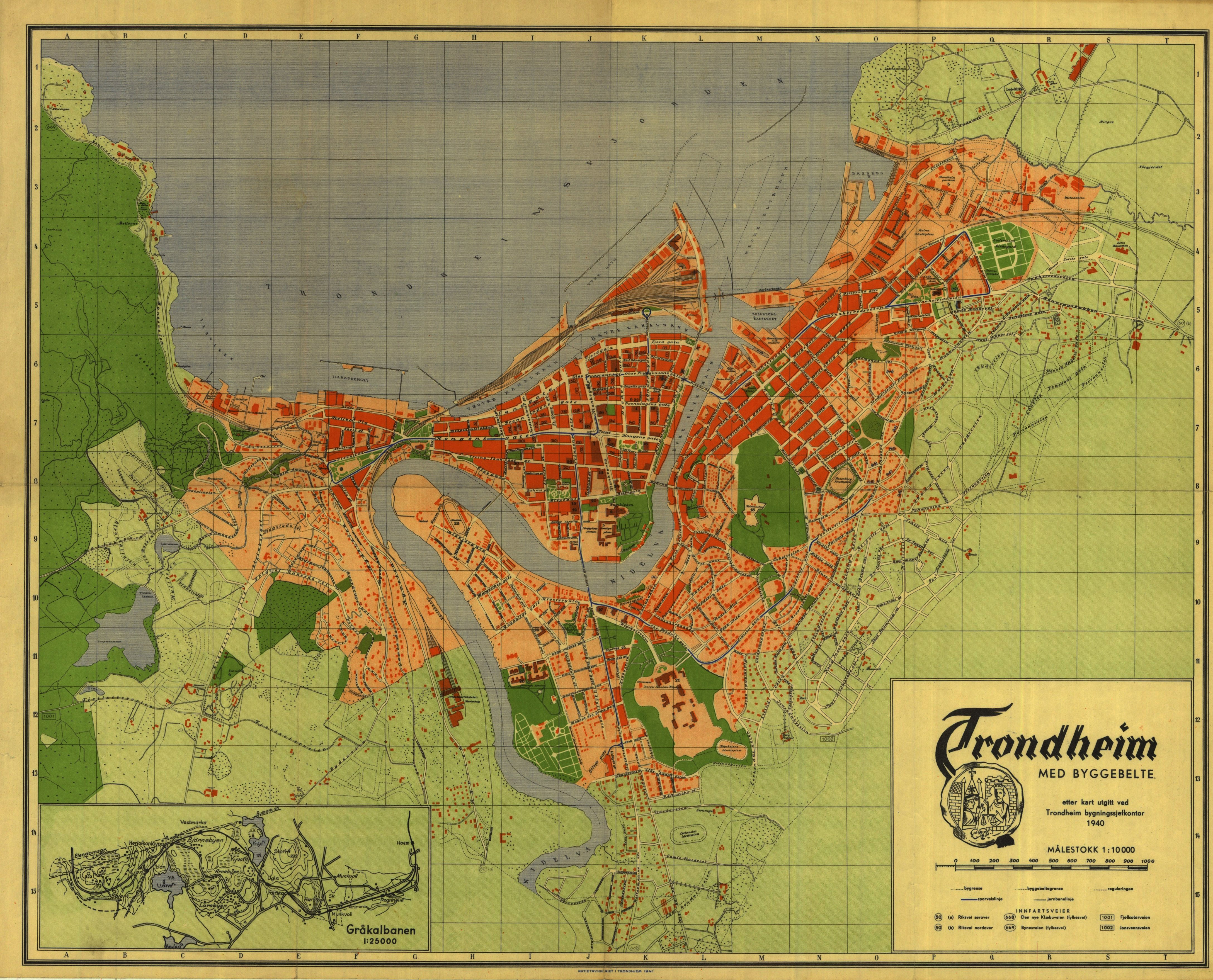
Trondheim is the third biggest city in Norway. It is very much a University city with a fifth of the population being students.

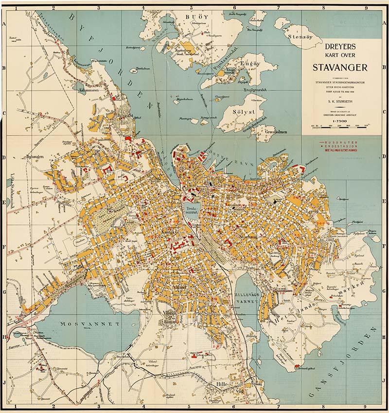
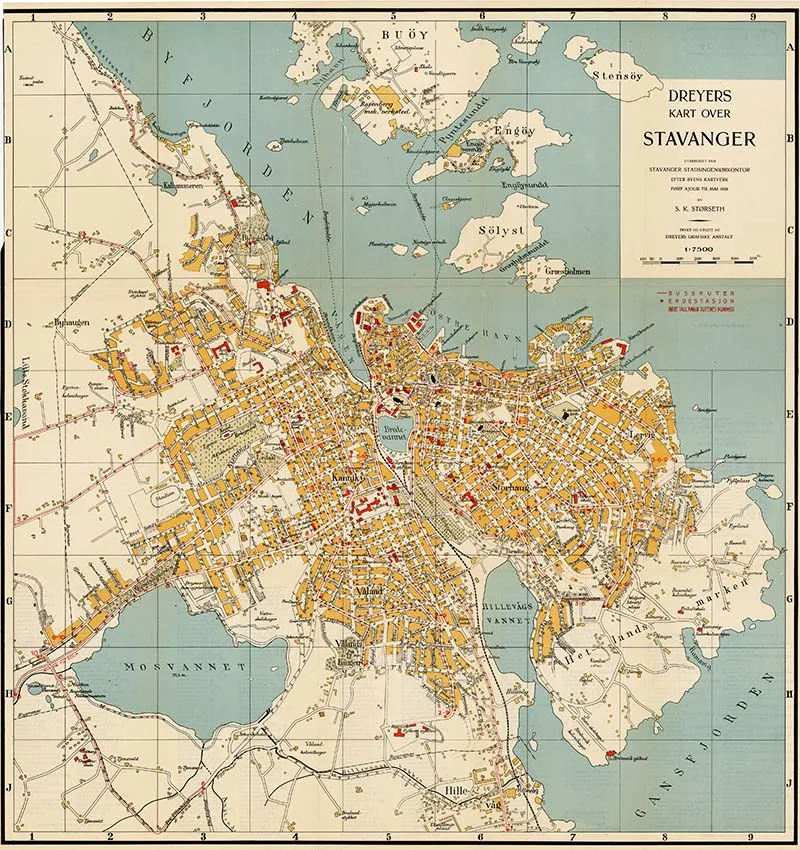
9. Stavanger Norway Map 1938
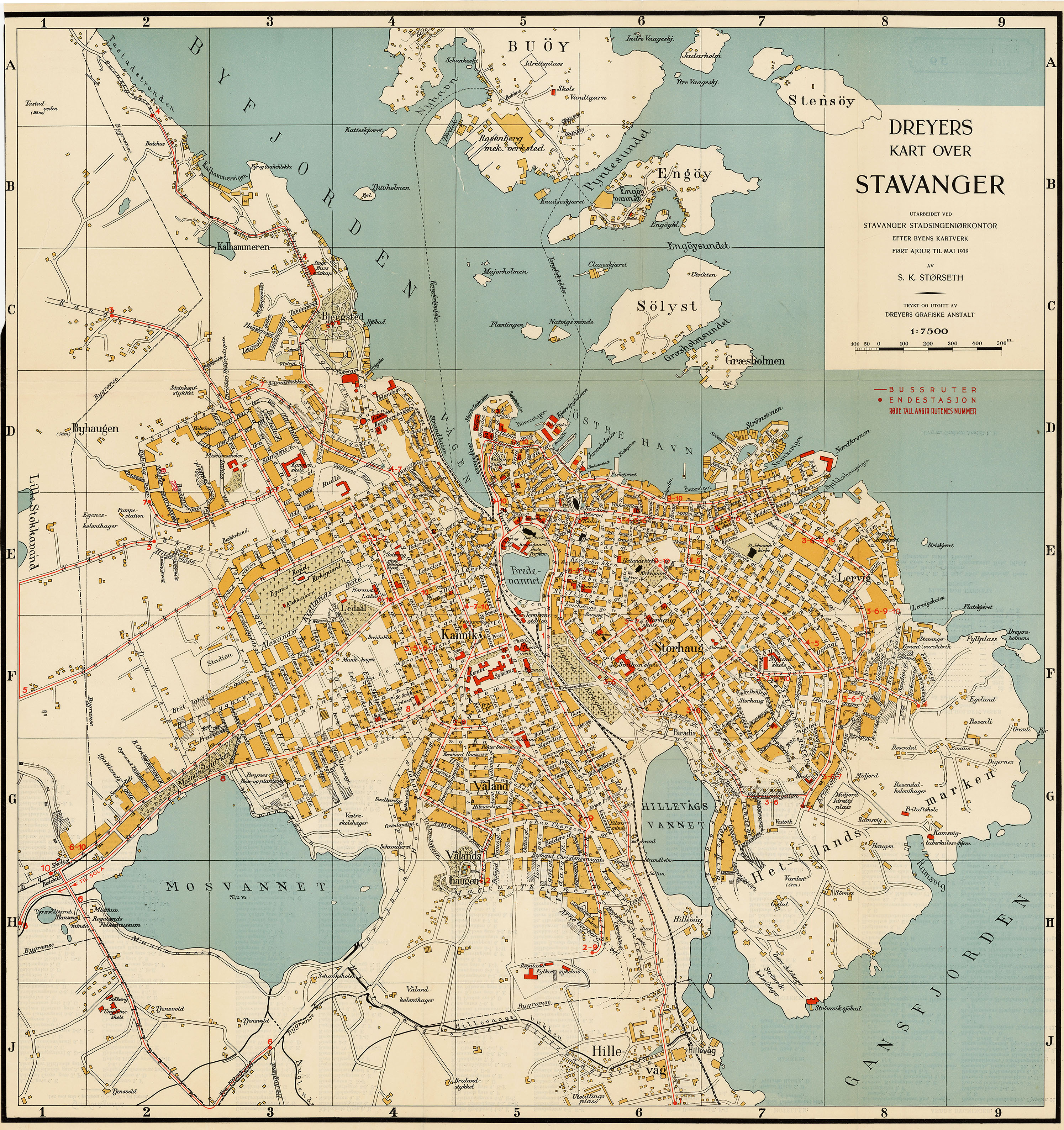
Stavanger is the oil capital of Norway. It’s also a popular tourist destination and is becoming increasingly well known for great street art.
If you liked these old maps of Norway then you might like some of the other vintage European maps on the site.
- Old Maps Of Europe
- Old Map of Britain and Maps Of The UK
- Vintage Maps of France
- Lovely Old Maps of Paris
If you are into Scandinavian culture then you might want to check out these vintage Scandinavian gnome illustrations.
Dr Dan Halvorsen
Monday 8th of January 2024
Granddad from Stavanger & Hjemeland!
claire
Thursday 11th of January 2024
Cool! I have relatives in Stavanger too.
T Hanna
Tuesday 12th of November 2019
I can open the image of the map I like (city of Bergen) but have no option to download it. Any suggestions? Thank you.
claire
Tuesday 12th of November 2019
You should be able to just save the picture to your hard drive if you right click with your mouse.