
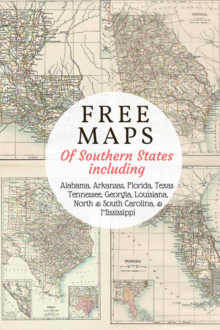
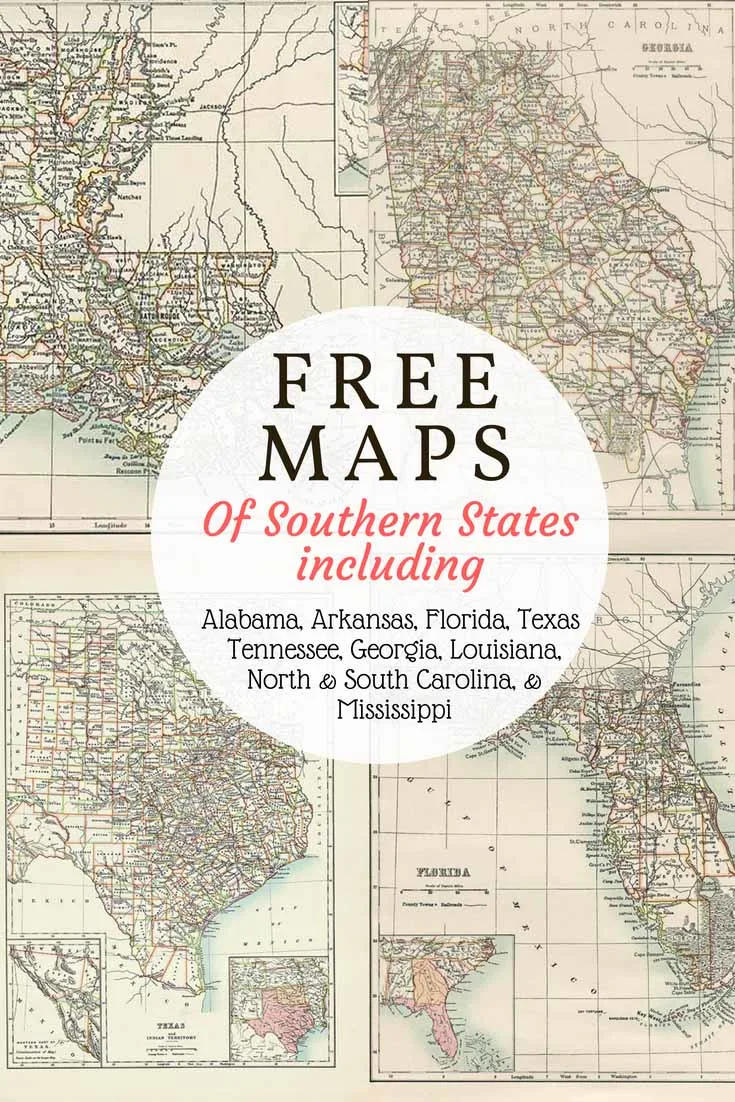
Printable old map of Texas, Florida, Louisiana, Georgia, North & South Carolina, Alabama, Mississippi, Arkansas and Tennessee
These gorgeous old Maps of the Southern United States come from an original US Atlas circa 1885. Unfortunately, I don’t have details of the original publishers as these maps were purchased loose as individual pages.
There is a scale drawn on each map and they are highly detailed giving county boundaries, county towns, railroads, and canals etc. The maps have been sharpened and cleaned up after scanning. They are beautifully printed and would look fantastic in a frame.
The PDF downloaded maps will be of a higher resolution then the images below.
To download the maps just click on the highlighted map title link and a PDF of the map will automatically download to your device.
-
-
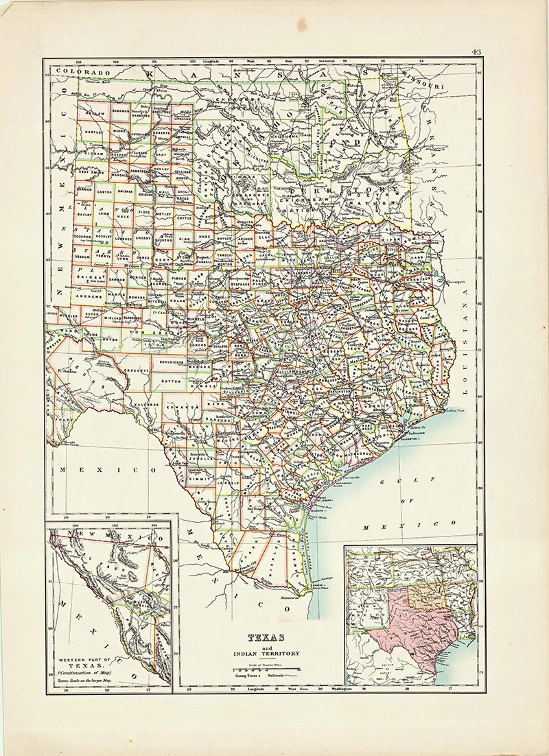
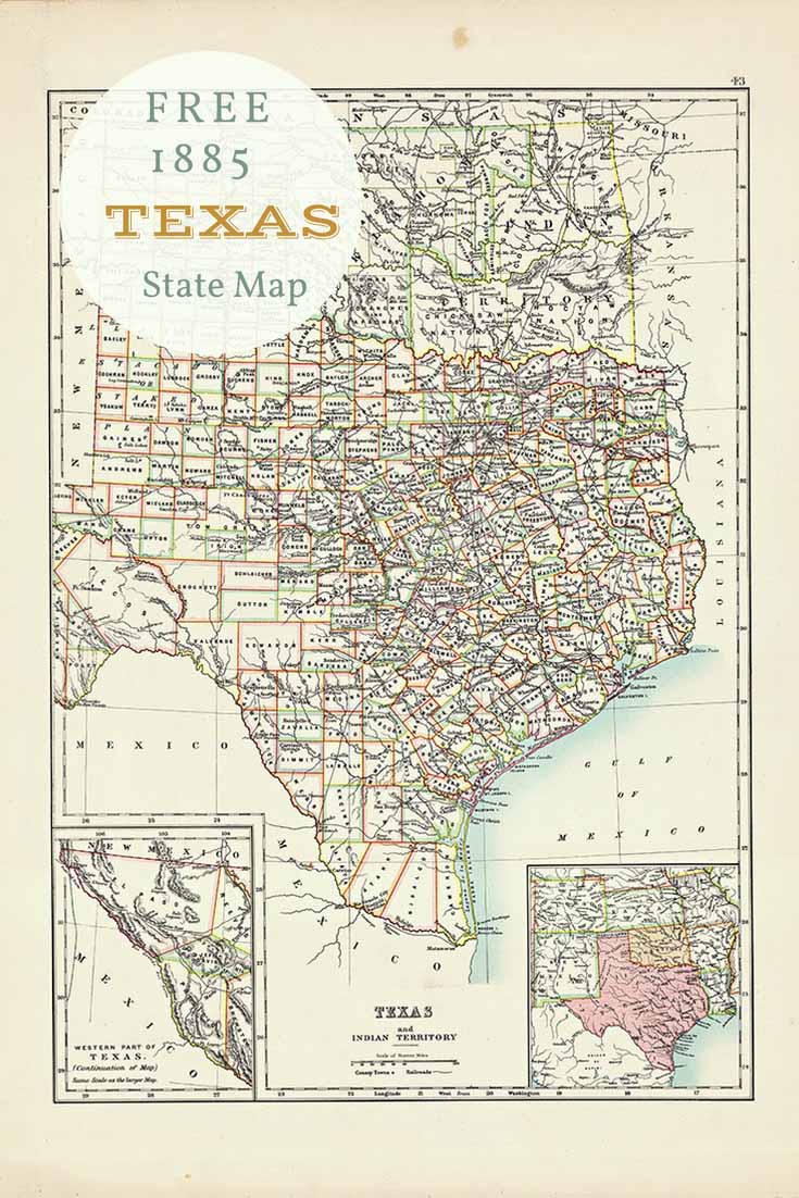
Old Map of Texas
Texas is the second largest state in the US in both terms of size and population. The term “six flags over Texas”] refers to several nations that have ruled over the territory. They are: Spain, France, Mexico, Republic of Texas, Confederate States, and the United States.

-
-
-
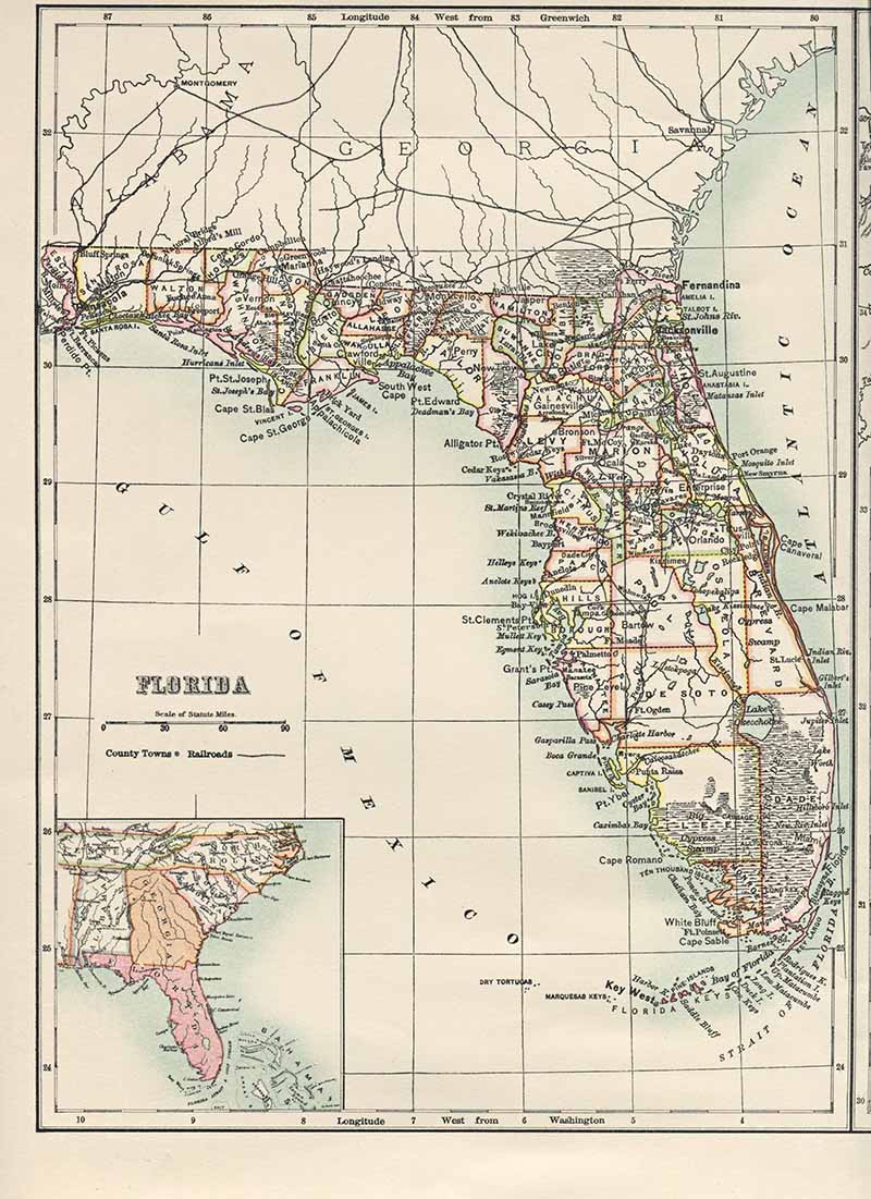
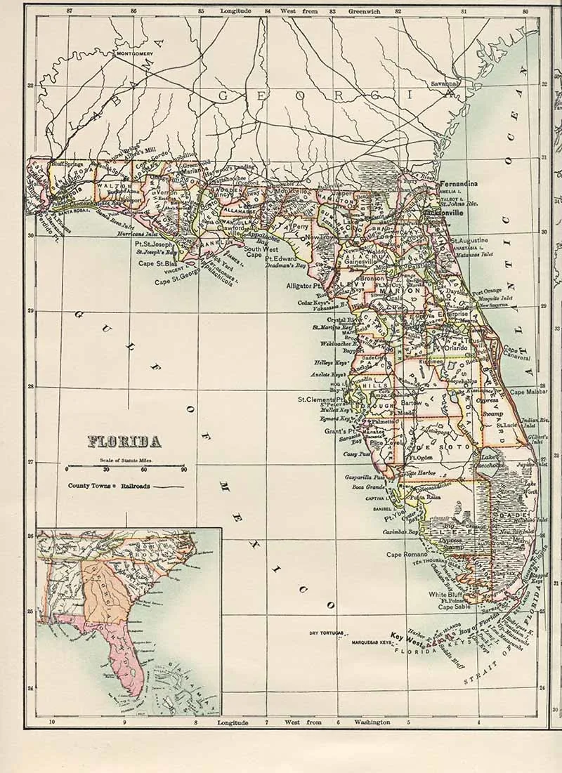
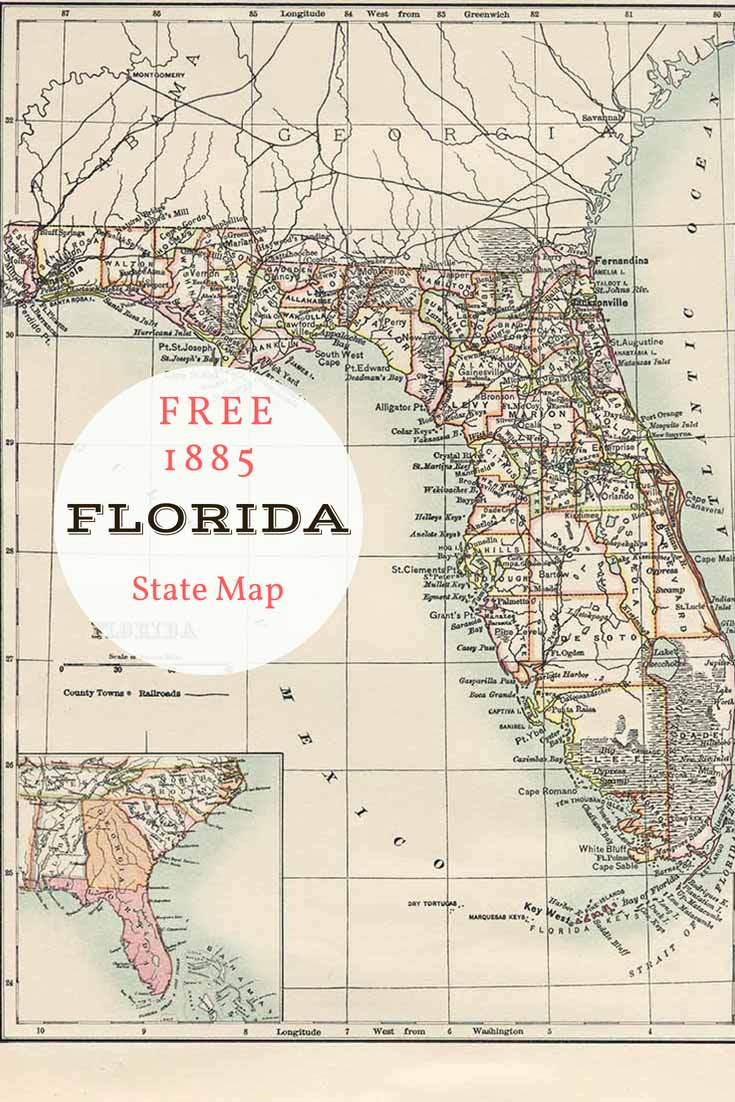
Old Map of Florida
Despite being know as the “sunshine” state, Florida is not the southernmost state in the United States. Hawaii is farther south.
-
-
-
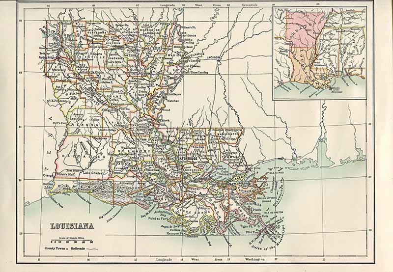
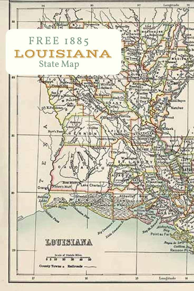
Old Map of Louisiana
Louisiana was named in honour of King Louis XIV of France.
-
-
-
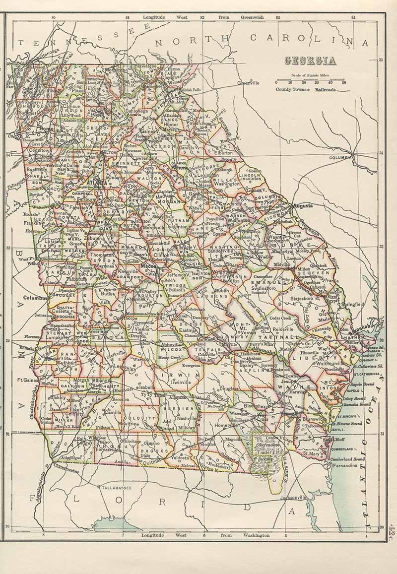
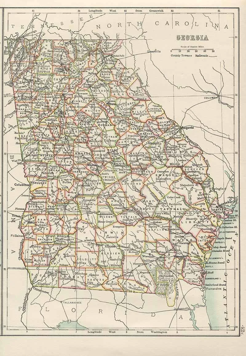
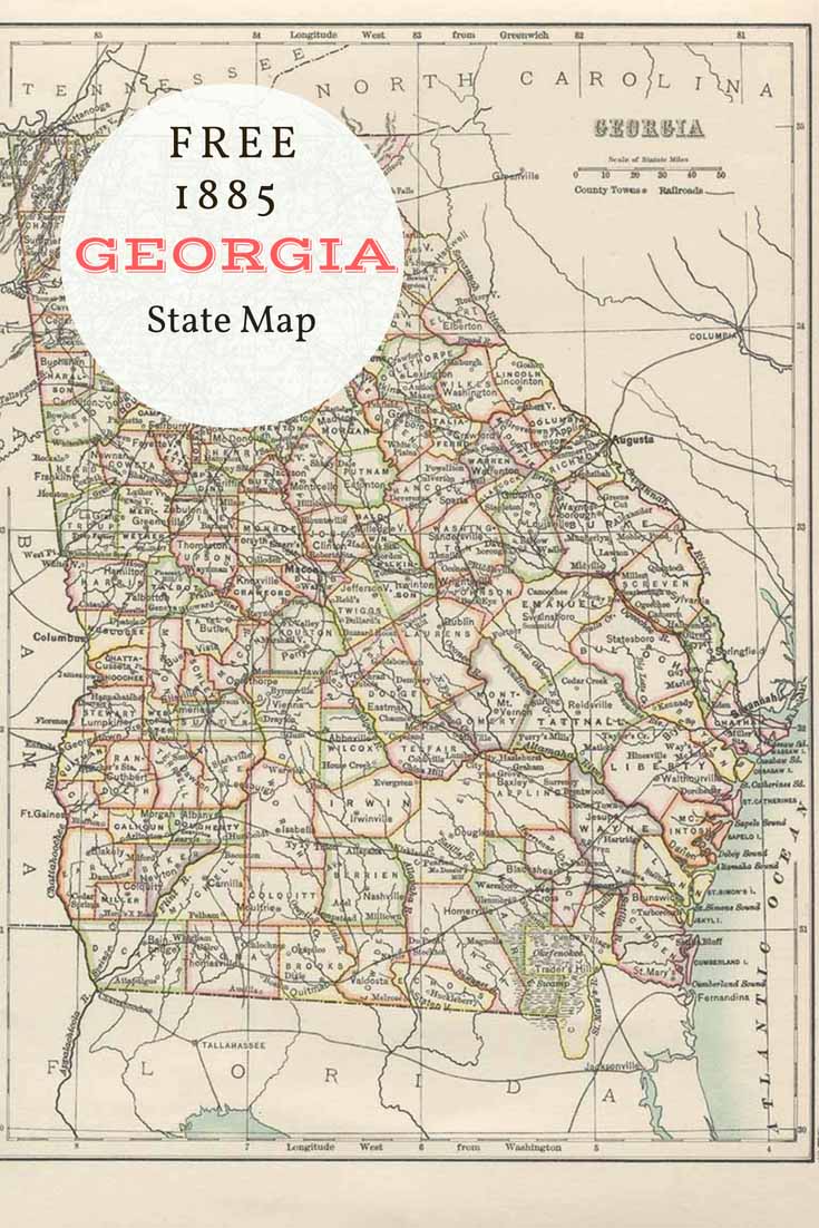
Old Map of Georgia
Georgia was named in honour of King George II of England.
-

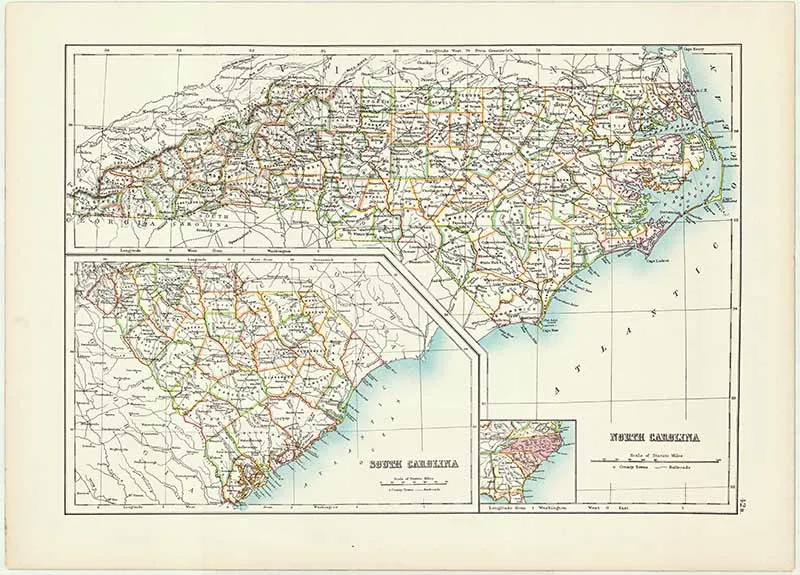
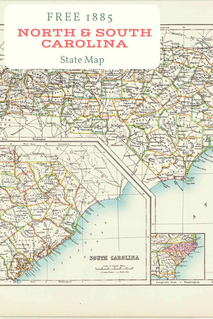
The University of North Carolina Chapel Hill is the oldest State University in the United States. South Carolina is named in honor of King Charles I of England, who first formed the English colony, with Carolus being Latin for “Charles”.
-
-
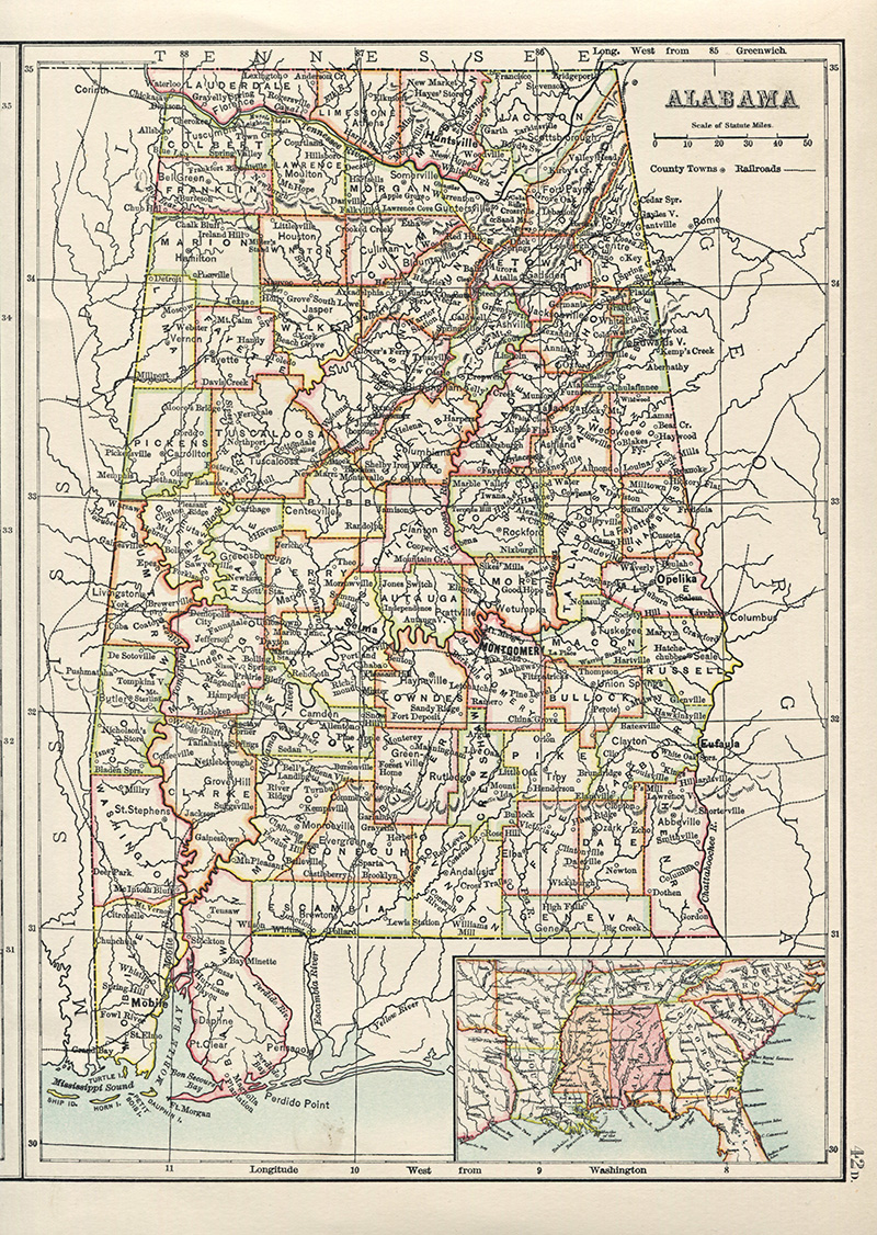
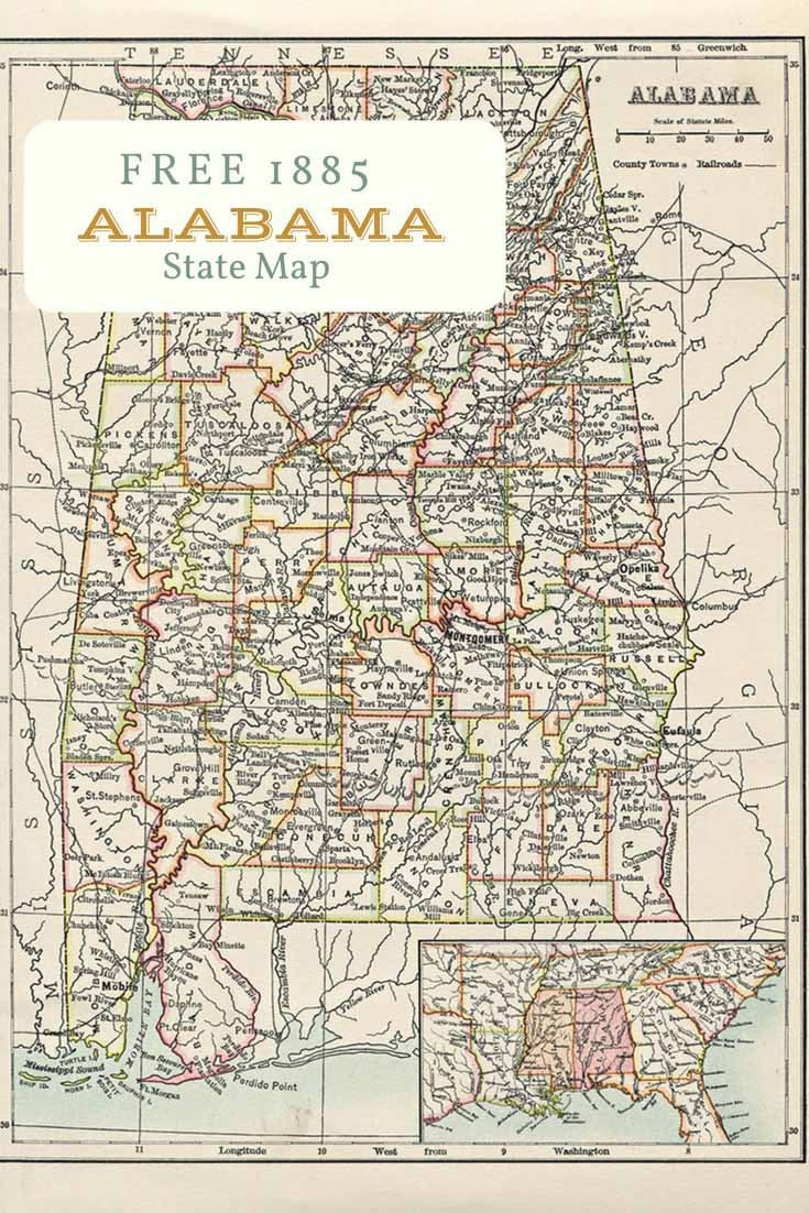
Old Map of Alabama
Alabama introduced the Mardi Gras to the western world. The celebration is held on Shrove Tuesday, the day before Lent begins.
-
-
-
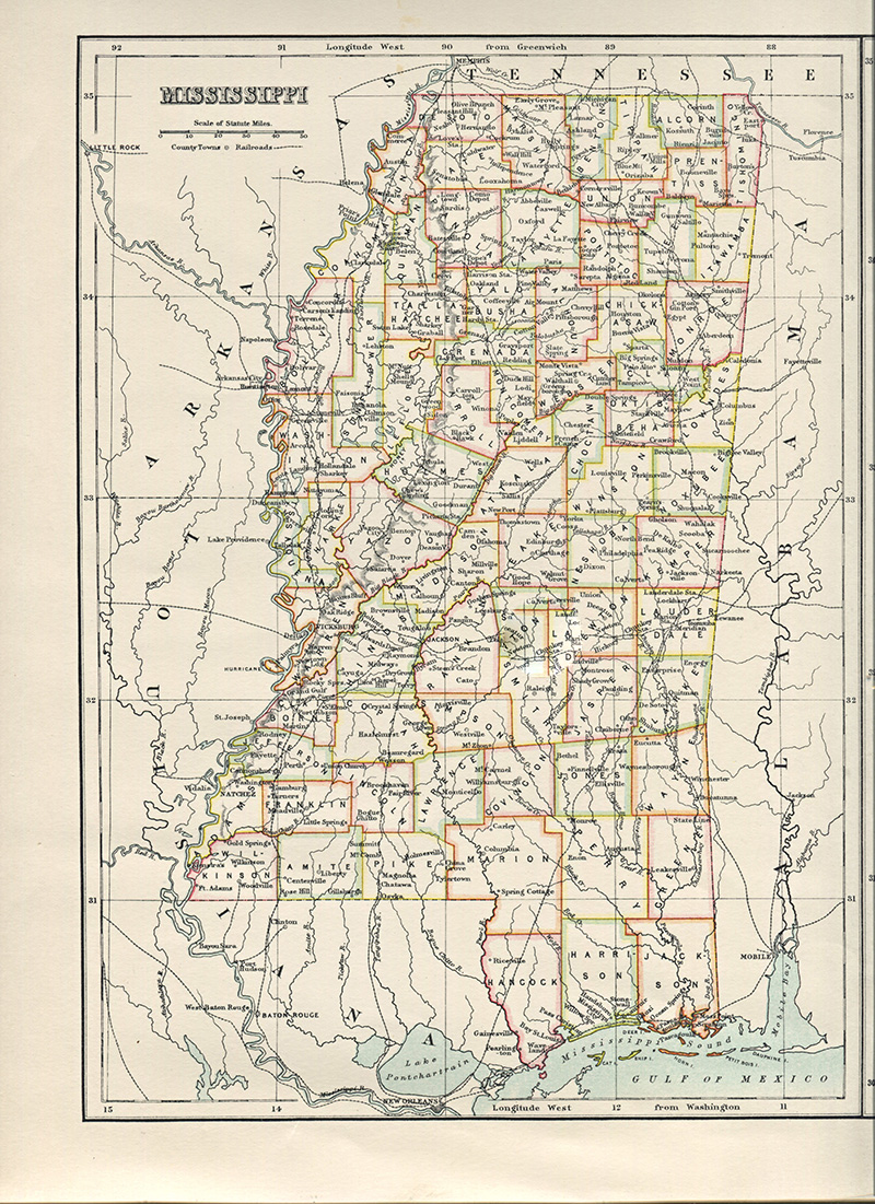
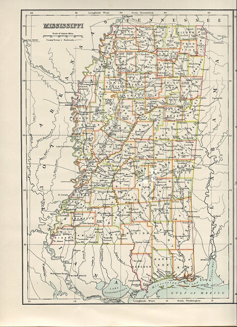
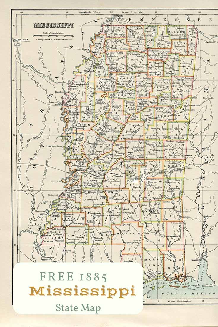
Old Map of Mississippi
The Mississippi River is the largest in the United States and is the nation’s chief waterway. There are some wonderful Mississippi River maps on the site too.
-
-
-
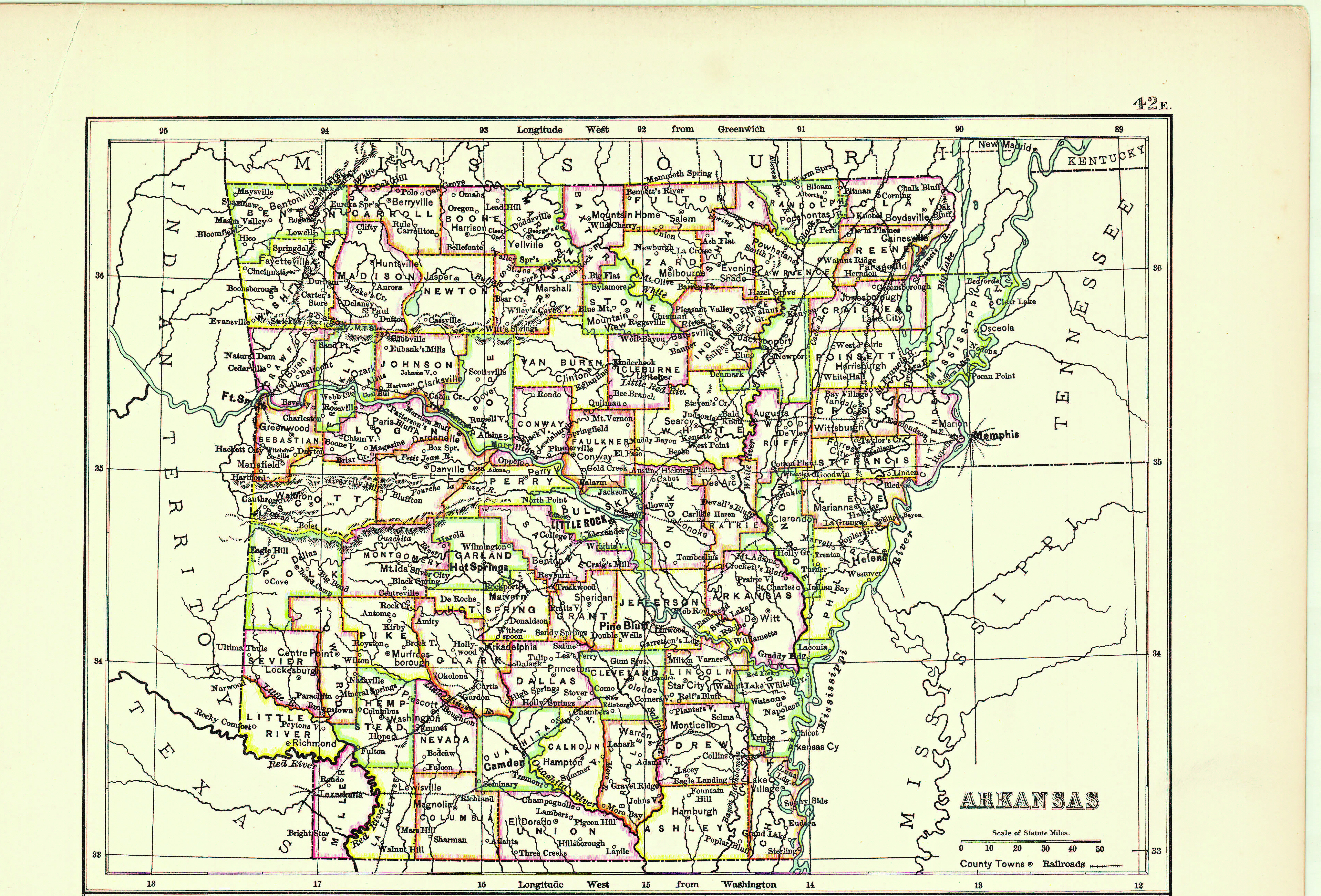
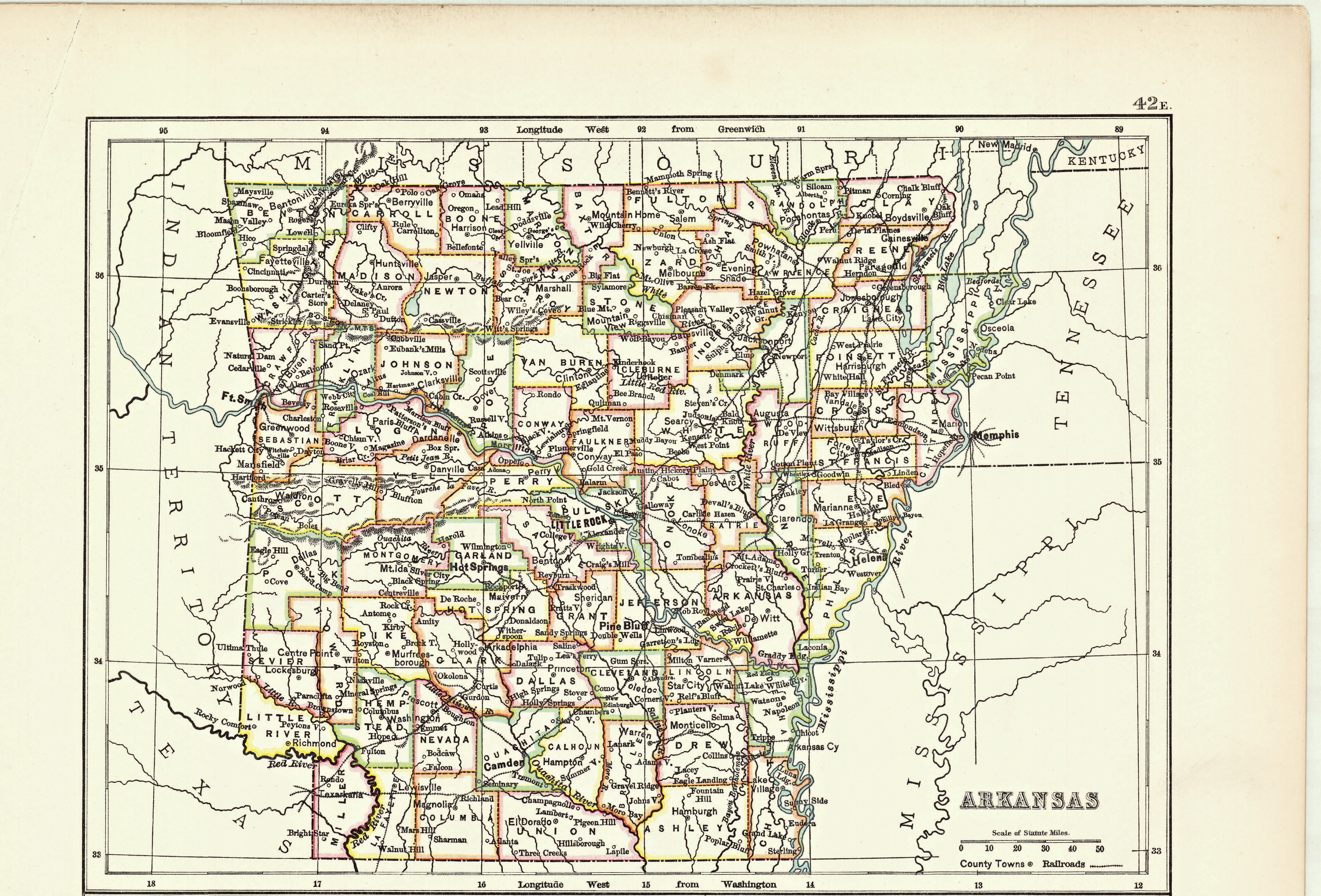
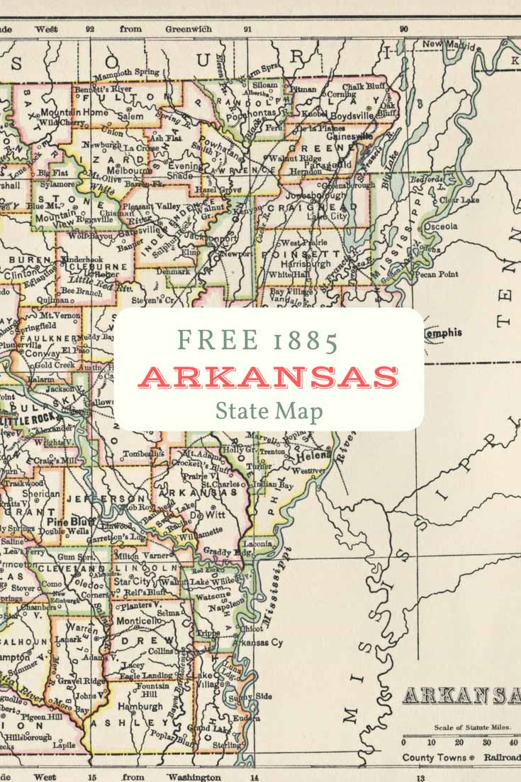
Old Map of Arkansas
Mount Ida is known as the Quartz Crystal Capital of the World.
-
-
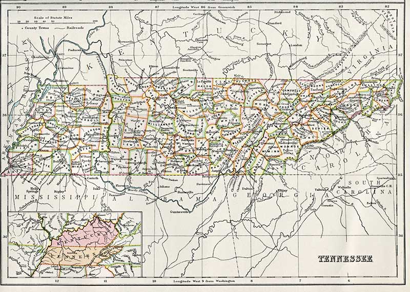
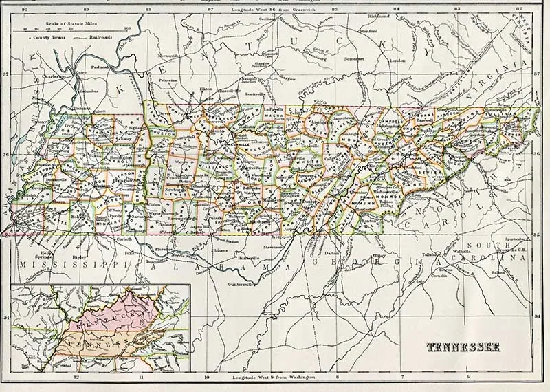
Old Map of Tennessee
Tennessee’s Great Smoky Mountains National Park is the most visited national park in the United States. The park was named for the smoke-like bluish haze that often envelops these fabled mountains.
Can’t find the state maps that you are looking for, then there are more here antique US state maps midwest.
Any of these maps would look great in a frame. The maps are larger than A4. Print them on your printer at home and they will automatically shrink to size. I recommend using a matte photo paper to help preserve that vintage look.
If you want large scale maps then simply email the PDF to your local printers and they should be able to print you off a high-resolution print ready for framing.
Pillarboxblue has some fantastic DIY and craft map ideas I recommend you check them out. If you are going to decoupage with them then I recommend using a laser jet printer.

Lisa
Thursday 21st of November 2019
These are wonderful - Thank you. They will work nicely for a set of vintage postcards I am working on but wanted to let you know that the link for Arkansas does not work.
claire
Thursday 21st of November 2019
Thank you, I'll fix it.
Karen
Tuesday 20th of August 2019
Love these! Thank you. But when I click on the state I want, I do get a pdf but am unable to do anything beyond that. What am I missing?
claire
Wednesday 21st of August 2019
If you are on your computer you Should e able to then just download and print that pdf. You should be able to save the pdf file to your computer. You can then print this at home or send the file to an online printers for them to print if for you. I hope that helps.
Carol
Thursday 13th of September 2018
These maps are fun. Gave me the idea of framing maps of states my Husband and I lived during our childhood. Don't have all states on this site, but still a project I will do. Thanks.
claire
Sunday 16th of September 2018
Thank you, Carol. I hope to eventually get maps of all the US states.
Simple Cute Personalized Map Gift For Lovers - Pillar Box Blue
Thursday 2nd of August 2018
[…] for your personalized map gift? If you happen to be from the US you might want to check out these free vintage US state maps to print. If you’re looking for more personalized map frame projects you should […]
Wonderful Free Vintage New York Maps To Download - Picture Box Blue
Monday 30th of July 2018
[…] mats, like these city map table mats. Don’t forget to check out these free old map of Texas and other US states. […]