

I was inspired to curate this collection of free old maps of South America, after watching a series on TV, Race Across The World.
In the program teams of two have to race across South America. From Mexico City to the world’s southernmost city Ushuaia in Argentina.
They are not allowed to use flights. Have a limited budget and no phones or internet. Just like travel in the old days.
I know very little about South America the nearest I have got is a beach holiday in Mexico. Having watched the program, I now want to go further south and visit the South American continent.
Even though I won’t be traveling for a while, I thought I’d find some old maps of South America. So I can study and find out more about the geography of this amazingly diverse continent.

Facts About South America
Geographical Facts
- South America is the fourth largest continent with a population of over 428 million.
- It is made up of 12 countries. The largest of which is Brazil
- Suriname is the smallest country in South America
- The largest city is Sao Paolo in Brazil. It is one of the top 10 most populated in the world.
- The Amazon River is the longest river (6,437metres/4,000miles). It is the second-longest river in the world after the Nile. The Amazon carries more water than the world’s other 10 biggest rivers combined.
- Aconcagua in Argentina is South America’s largest mountain (6,961metres/22,837ft). It is located in the Andes mountain range.
- Lake Titicaca (shared by Bolivia and Peru) is not only the continent’s largest lake it is also the world’s highest navigable lake.
Other Fun Facts
- The continent gets its name from the Italian Amerigo Vespucci, one of the earliest European explorers of the New World.
- Over 300 languages are spoken in South America. The main language is Spanish, then Portuguese which is spoken only in Brazil.
- There are indigenous tribes in the Amazon that have had no contact with modern civilization.
- These tribes live deep in the Amazon rainforest and scientists believe there are some that have yet to be discovered.
- South America is home to the driest place on earth, the Atamaca Desert.
- With hundreds of animal species, over 40,000 plant species and more than 2.5 million insect species, the Amazon rainforest is considered to have the greatest biodiversity in the world.
- Brazil is not only the largest country on the continent, but it also has the highest number of UNESCO World Heritage Sites, with 21 in total. Peru is in second place with 12 such sites.
Popular Places To Visit In South America
- Machu Picchu, Peru – the ancient Inca city.
- Amazon in Ecuador – One of the easiest and most popular ways to enter the Amazon is located in Ecuador through its capital city, Quito.
- Angel Falls in Venezuela – the worlds highest uninterrupted waterfalls
- Rio de Janeiro Carnival – The biggest carnival in the world with two million people per day on the streets.
- Salar de Uyuni in Bolivia, which is the largest salt flat in the world.
- The Galapagos Islands for nature lovers one of the last unspoiled places on earth where wild creatures live without fear of humans.
- Pantanal in Paraguay/Brazil a natural region encompassing the world’s largest tropical wetland area.
- Torres del Paine National Park is located in the Southern-most region of Chile and a gateway to Patagonia, it offers amazing glaciers, lakes, and blue mountains.
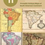
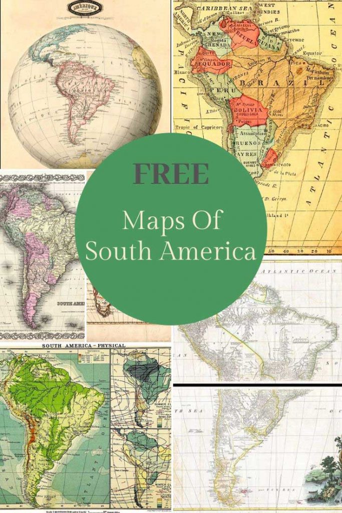
The Free Old Maps of South America
To download the vintage map of South America you want just click on the title above the map. A larger map will open in a new tab in your browser. You can print this map for free or save it to your hard drive to use at a later date.
All these maps of South America are in the public domain so you are free to use them any way you want to.
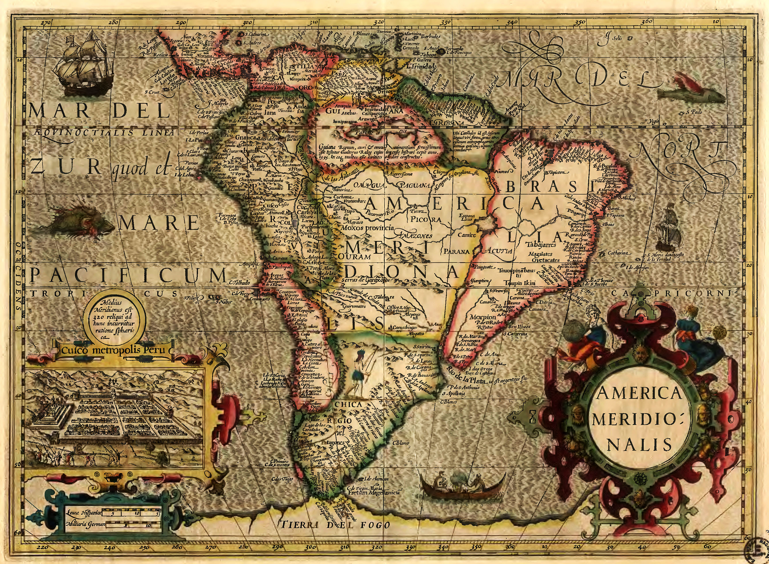
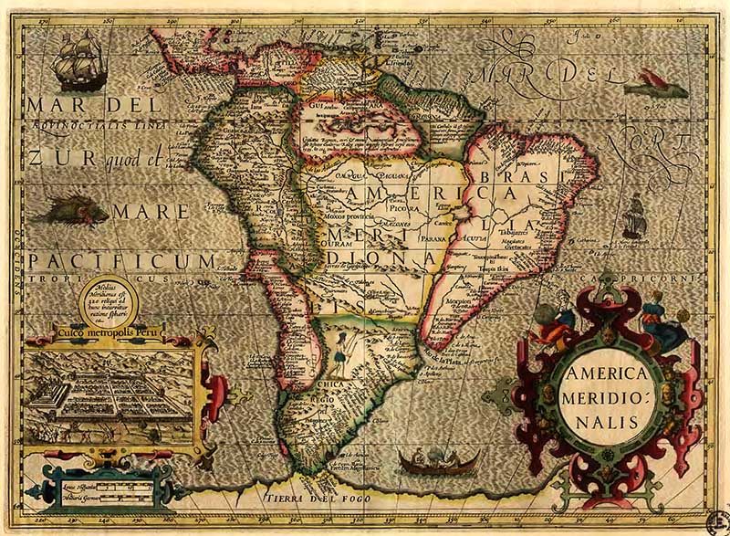
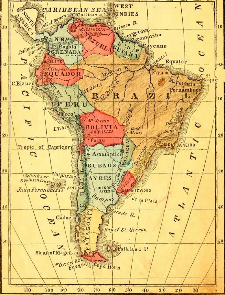
1.. America Meridionalis Map 1606
A lovely example of one of the earliest obtainable decorative maps of the South American continent. Drawn by the Dutch cartographer Jodocus Hondius.
The Strait of Magellan is shown, but Tierra Del Fuego is part of the large southern continent.
Eastern Brazil is depicted as an island. It is made insular by a huge Rio de la Plata that extends from the Atlantic in the south to a large lake, Eupana Lacus. From this lake, the Rio Grande flows further northward into the Amazon River and from there into the Atlantic.
Interestingly the inset on the map depicts Cusco, the Capital of Peru and the center of the Inca empire.
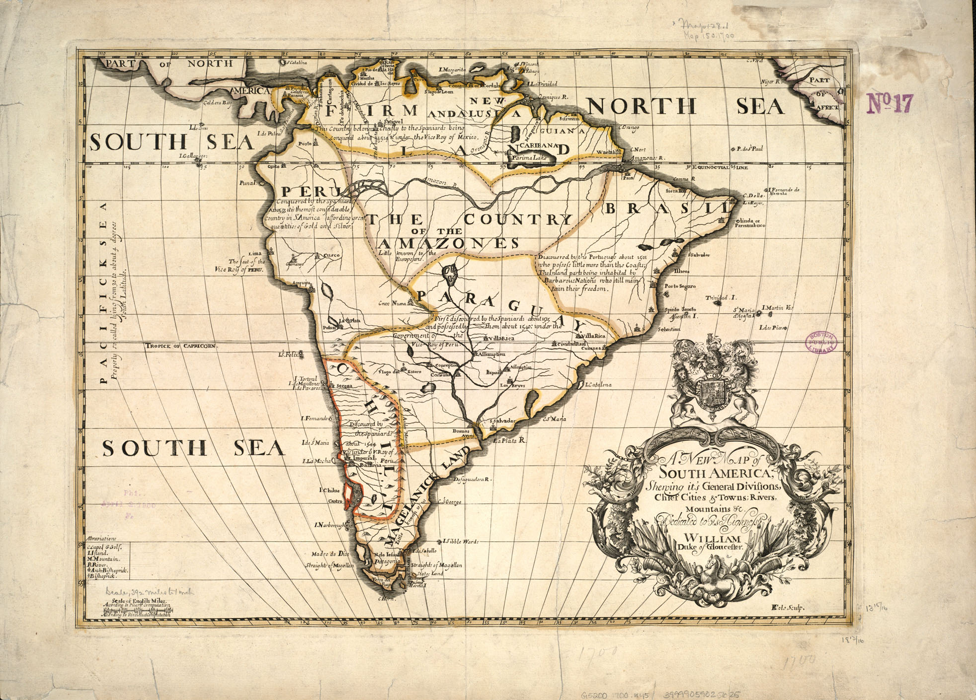
2. 1700 Map of South America
Th 1700 map is titled “A new map of South America, showing its general divisions, chief cities & towns, rivers, mountains“.
Interestingly, on the map Paraquay is a lot larger than it’s now. There is a large central region described as the country of the Amazones.
3. 1746 Homann Heirs Map of The Americas
A stunning and important early map of the Americas. A hand colored map of both North and South America.
The map reflects a considerable advancement in American cartography of the time as well as a general increase in knowledge regarding America’s interior from explorations and colonizations.


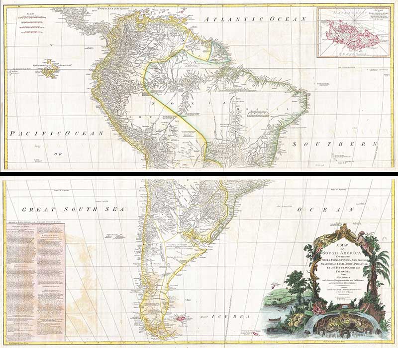
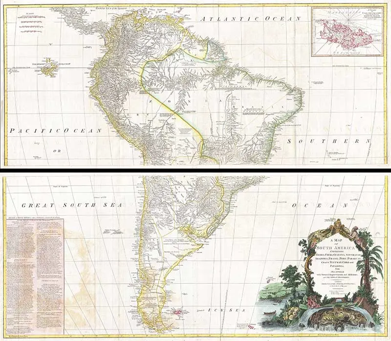
4. 1795 D’Anville Wall Map of South America
This is probably the most important two-panel wall map of South America produced in the 18th century. The map depicts the continent in full with an inset of the Falkland Islands.
This map is unique in that it is a serious attempt to compile all of the accurate scientific knowledge of the South American continent available at the time. It offers a smorgasbord of factual, speculative, and historical detail.
The cartographer attempts to depict both known and unknown parts of the continent with actual data reported by both contemporary and historic travelers.
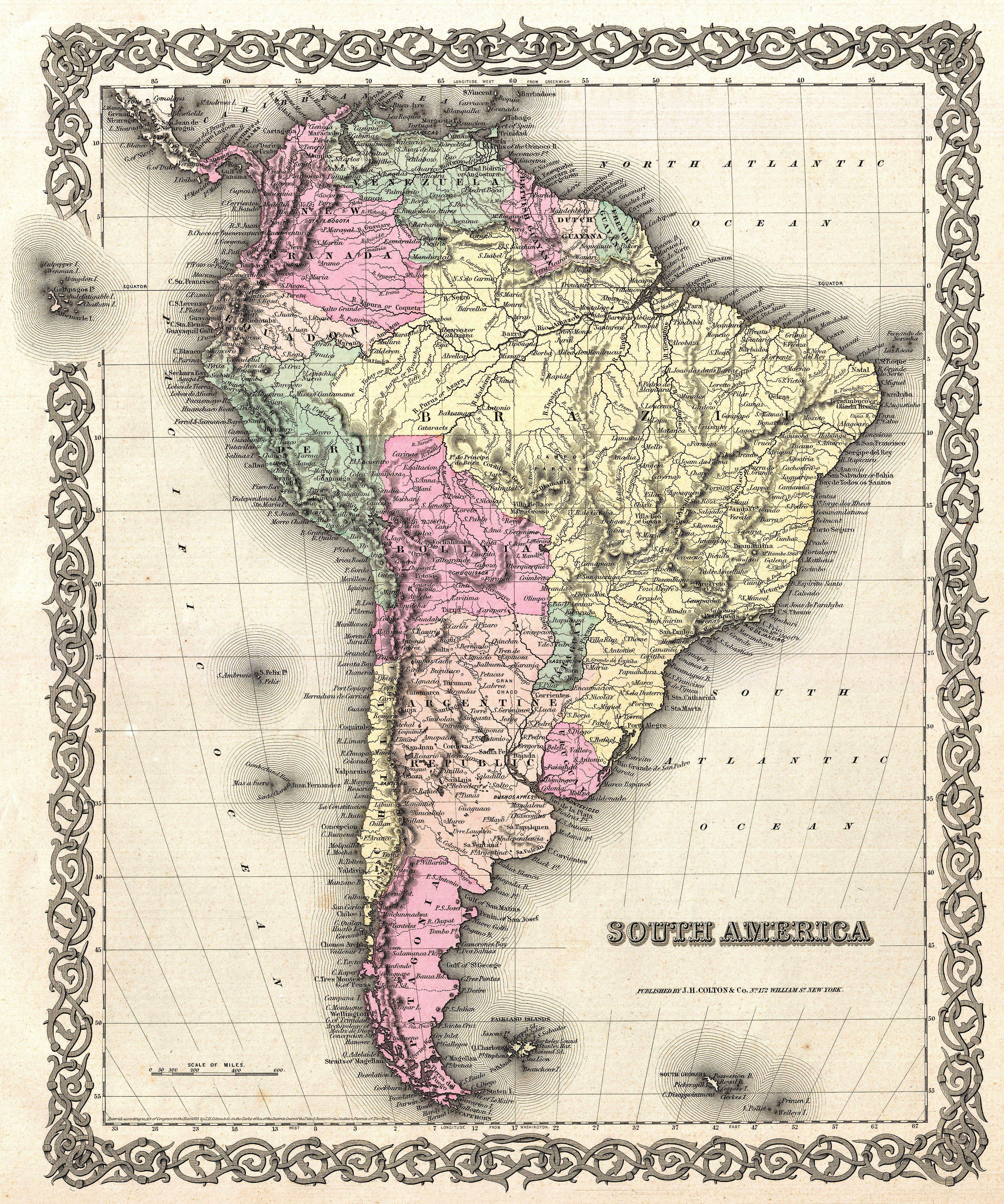
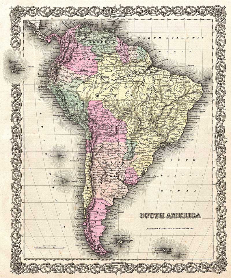
5. 1855 Colton Map
An excellent first edition example of Colton’s rare 1855 map of South America.
The map covers the entire continent from the Caribbean to Tierra del Fuego and from the Pacific to the Atlantic. It includes the Galapagos, Juan Fernandez, Falkland and South Georgia island groups.
Throughout the map, Colton identifies various cities, towns, forts, rivers, rapids, fords, and an assortment of additional topographical details.
The map is hand colored in pink, green, yellow and blue pastels to define national and regional boundaries. Surrounded by Colton’s typical spiral motif border.

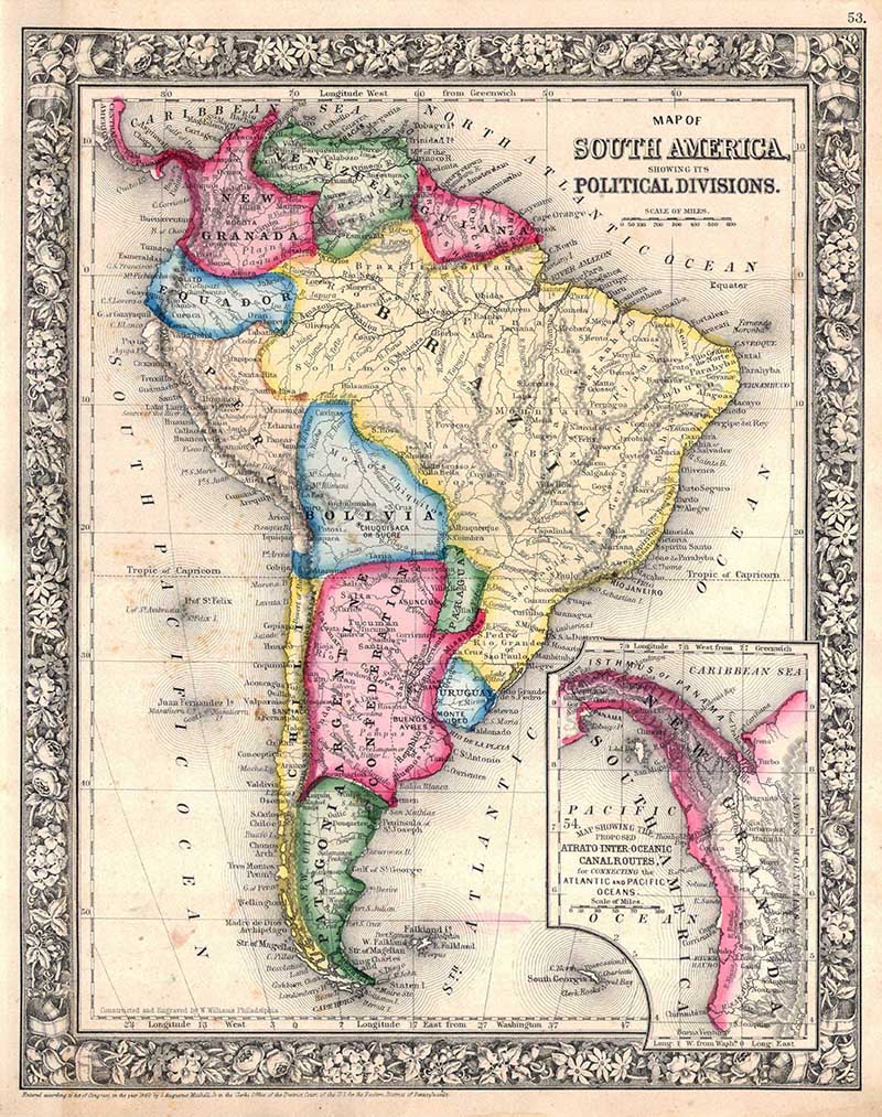
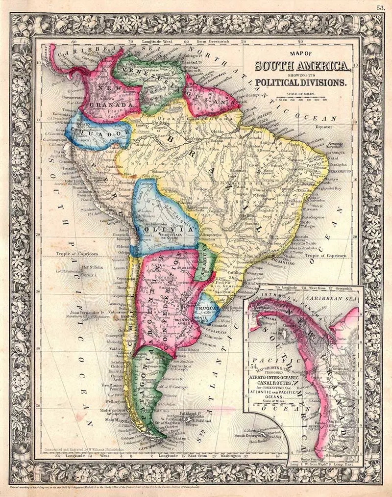
6. 1864 Mitchell Map of South America
One of the most attractive American atlas maps of this region to appear in the mid 19th century. It shows the whole of the continent, including Panama, in considerable detail. It denotes both political and geographical details.
This antique map is surprisingly accurate with the detail of the interior of Brazil and the Amazon Basin.
An inset map in the lower right quadrant depicts the Isthmus of Panama entitled “Map Showing the Proposed Atrato-Inter-Oceanic Canal Routes, for Connecting the Atlantic and Pacific Oceans.”
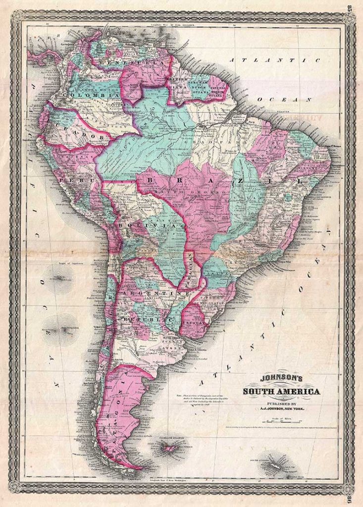
7. 1870 Johnson Map
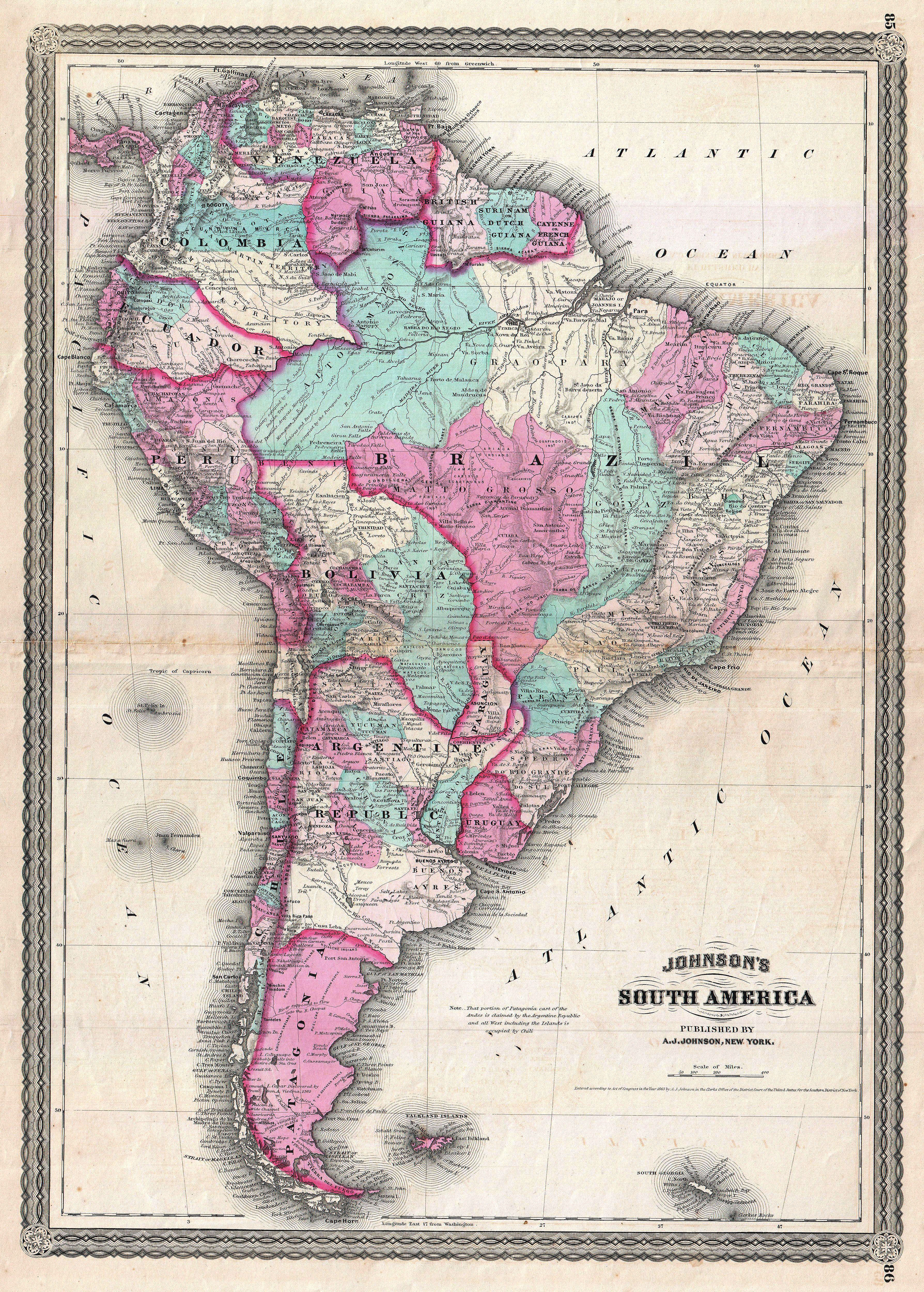
This is A. J. Johnson 1870 map of South America. It shows the continent in considerable detail with color coding according to country and district.
The antique map of South America shows Bolivia with an outlet to the Sea and Patagonia as separate from the Argentine Republic. It offers excellent detail of the Amazon basin noting many indigenous tribes.

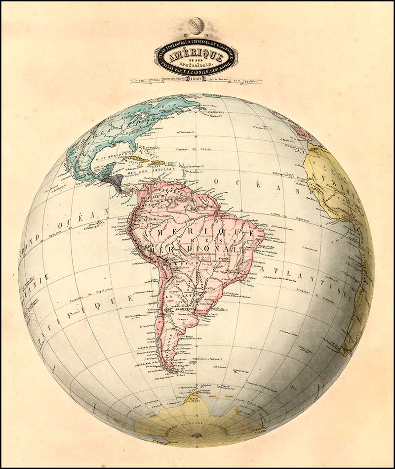
8. 1860 Globe Map
This is such an unusual antique map showing the South American continent on a globe of the world.
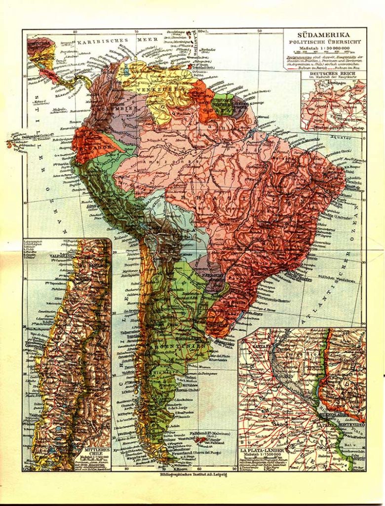
9. 1932 German Map
A rather colorful detailed map of with contours. This is a 1932 German map of South America.

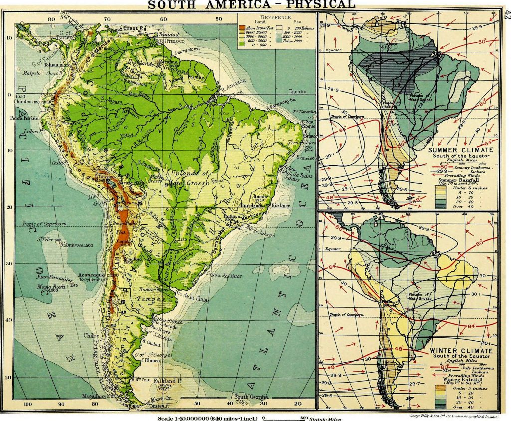
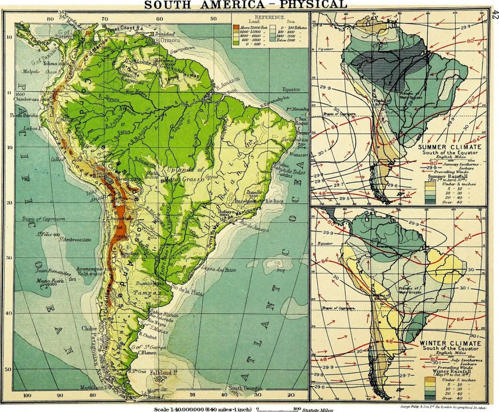
10. 1913 Physical Map of South America
A 1913 map from “An atlas of commercial geography“.
11. 1860 School Map of South America
This is a map used in schools from the book “Youth’s manual of geography – combined with history and astronomy – designed for the use of the junior and intermediate classes in public and private schools (1860)“

I hope you enjoyed these vintage maps of South America. There are a few South America related posters in this vintage airline poster collection. There are maps of North America on Pictureboxblue too, including maps of Canada and old maps of the USA.
If you are looking for other continental maps the contiental map collections on Pictureboxblue so far are:
- Continental maps of Europe North and general vintage maps of Europe.
- Old maps of Africa
- Wonderful maps of Antarctica
- Old maps of Asia
For those that like to study the world as an entirety their are two collections of world maps on the site.
Any of these maps would look stunning printed out and framed. For a high-quality print I recommend sending the downloaded files to be printed from an online print shop. They should recommend a high-quality paper to print the maps onto.
If printing at home, I like to print my maps on to matte photo paper. Make sure that you go into the advance settings of your printer and select the best quality print.
Don’t just display printed maps on the wall. Use them for crafts and DIYs to make unique map decor for the home.

Octavia
Tuesday 30th of June 2020
AMERICA DEL SUR es desde la frontera de Panamá con Colombia, hasta la Antártica Chilena, NO desde MEXICO. MEXICO es parte de AMERICA DEL NORTE. que pena que consideren a USA como NORTEAMERICANOS America del norte es Canadá, USA y México
claire
Wednesday 1st of July 2020
Thank you, Octavia, for the geography lesson. I don't think anyone actually said Mexico was in South America but just that the Race Started there.